SERVICES
Land
Surveying
Johnson & Pace has professional experience in all facets of a survey project. Our in-house teams include licensed surveyors, CAD technicians and several field crews. They use top-of-the-line surveying equipment, including Leica and Trimble GPS units, Topcon, Sokkia and Leica total stations, and AutoCAD and Terramodel software.
Direct Contact
Professional Surveying with Precision and Safety
Our Surveying Department targets your project with the right equipment and experienced, professional personnel to deliver your land service needs on time and on target. To ensure time and cost savings when it comes to surveying safety, Johnson & Pace is compliant with government and safety organization regulations.
All team members wear PPE to reduce injuries and attend regular safety meetings to identify potential hazards and mitigate risks. J&P compliance records are available from our safety organization memberships.
Core Surveying Capabilities
We offer a wide range of professional surveying services, including:
- Boundary surveys for residential and commercial applications
- ALTA/ACSM land title surveys for projects of any size
- Topographic and boundary surveys for subdivisions, retail developments, and public works projects
- FEMA/NFIP Elevation Certificates
- Easement acquisition, route surveys, and right-of-way acquisition
- Construction staking
- Record research
- FAA letters and Telecommunication Tower surveys
- GPS horizontal and vertical control networks
Specialized Surveys & Certifications
Johnson & Pace is Pre-certified to perform professional services for the Texas Department of Transportation (TxDOT). Our specialized services include:
- Oil & Gas Plat Preparation: Scouting, infill, land use, construction, permit, as-drilled, as-built, and unit plats
- Estate partitions
- Hydrographic surveys
- Pole auditing
- Legal descriptions and exhibits
- Land survey plats
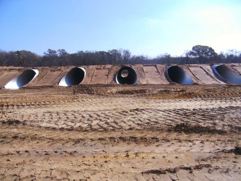
Pipeline & Utility Surveying Services
Our pipeline survey services are built to support all stages of planning and construction:
- Petroleum and gas pipelines
- Water, sanitary sewer, storm sewer lines
- Transmission lines and utility corridors
- Alignment sheets and construction layout
- Well site and valve site mapping
- Compressor sites, processing plant sites, and lease roads
- As-built documentation and system mapping
- Wind turbine route surveys
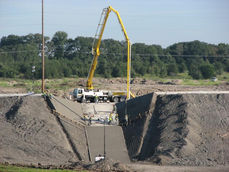
TxDOT Route Surveys
Our Pre-certified team offers full TxDOT-compliant survey services, including:
- Preliminary planning maps
- Alignment sheets
- Construction layout
- Lease roads
- Condemnation plats
- Surveys for city streets, highways, and river/creek crossings
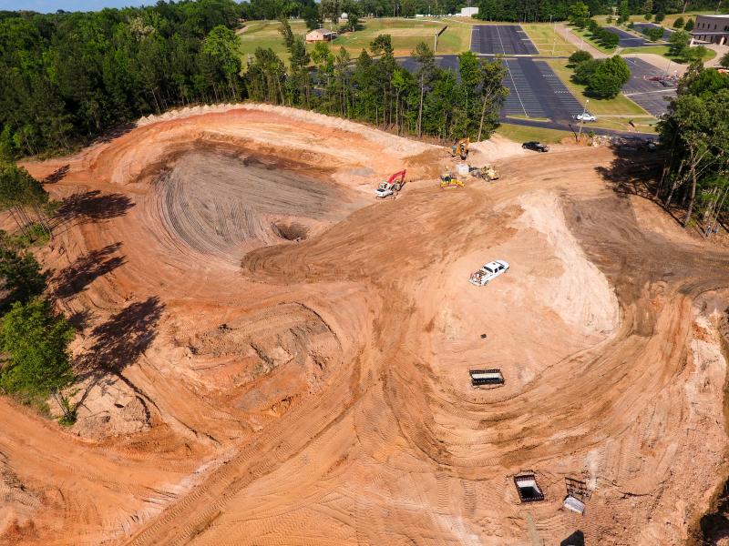
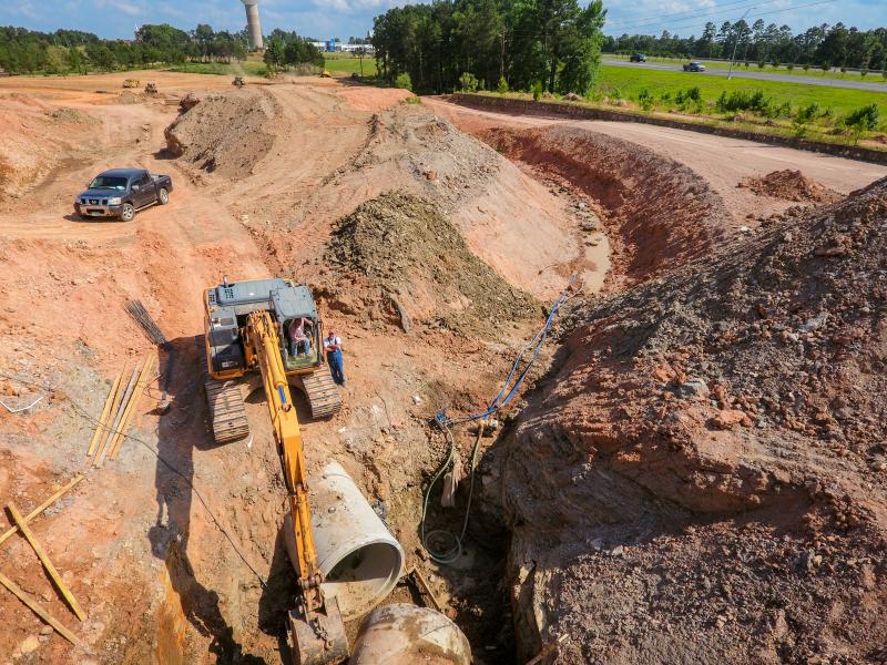
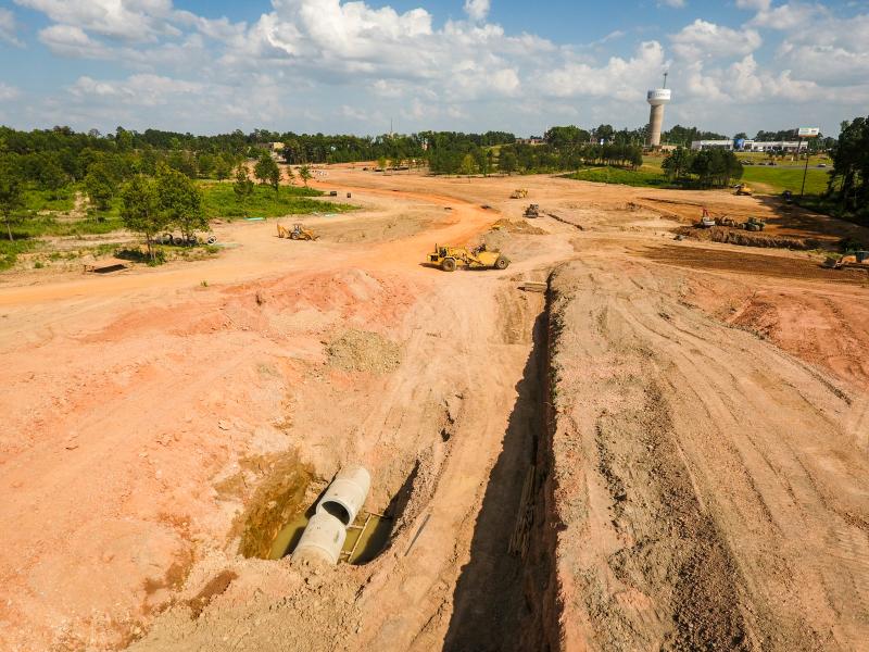
Land Surveying Gallery
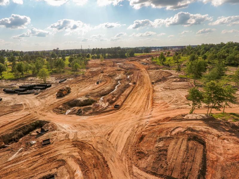
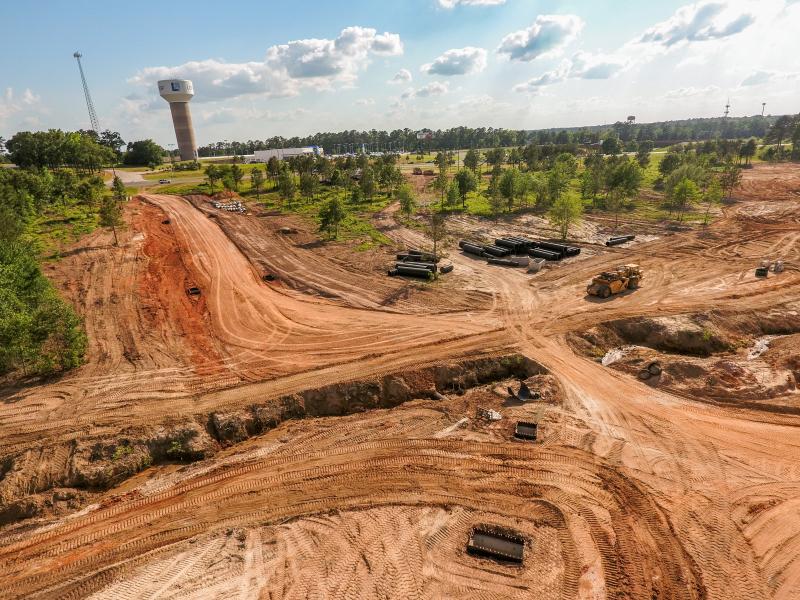
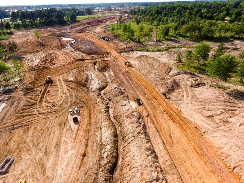
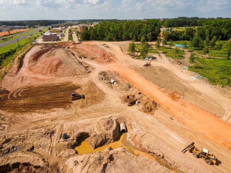
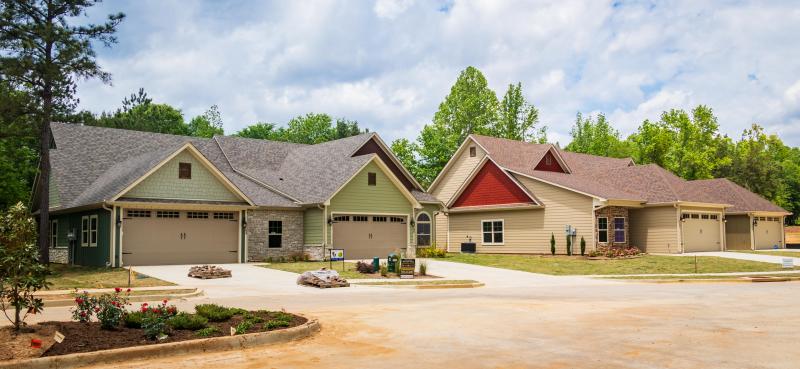
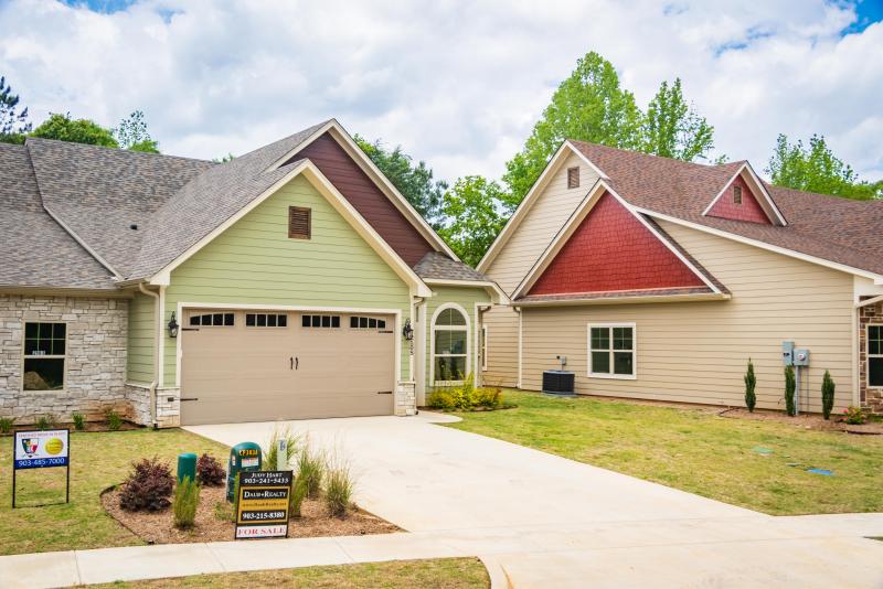
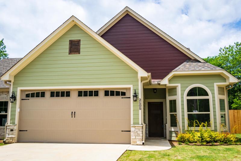
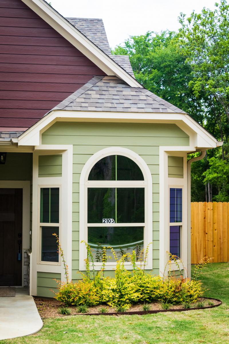
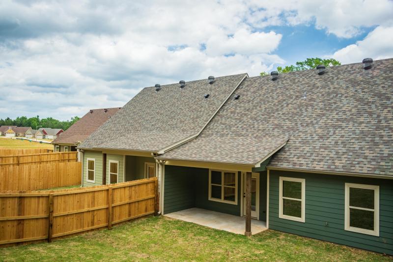
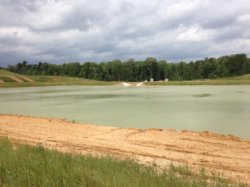
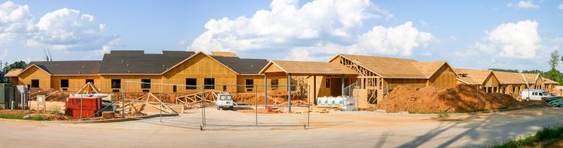
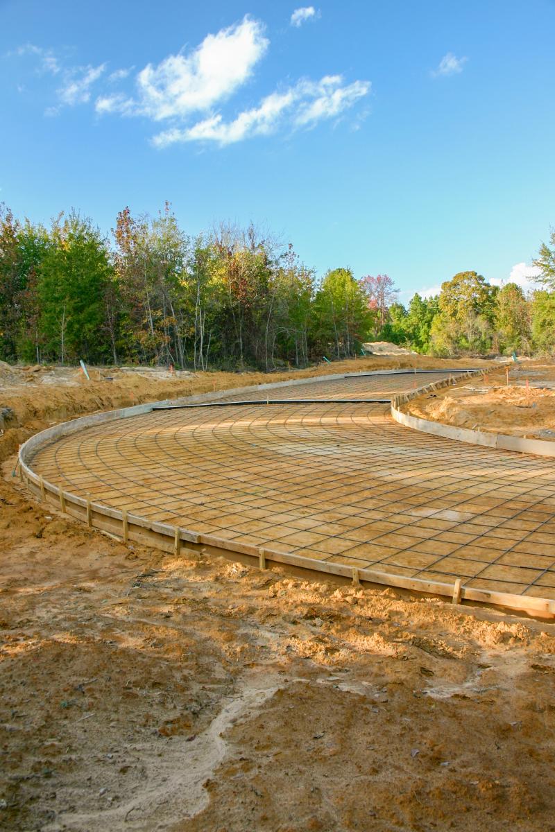
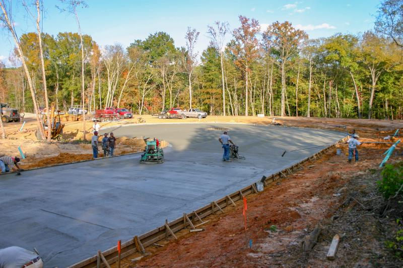
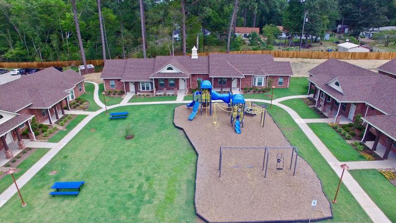
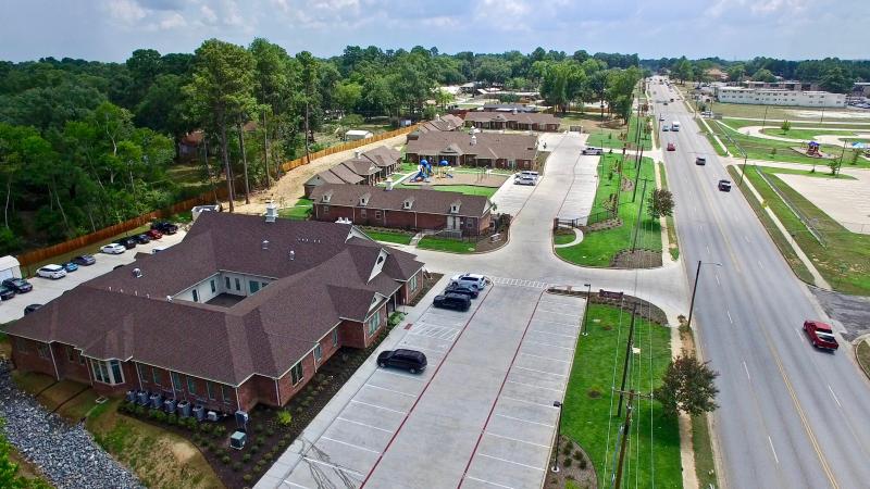
The Crossing at Main
The Crossing at Main Development
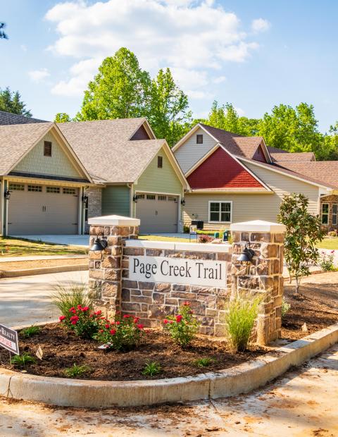
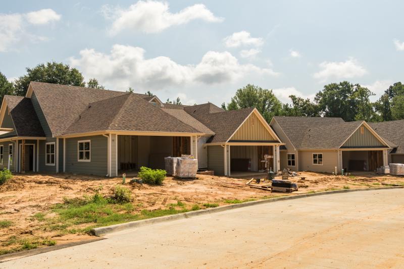
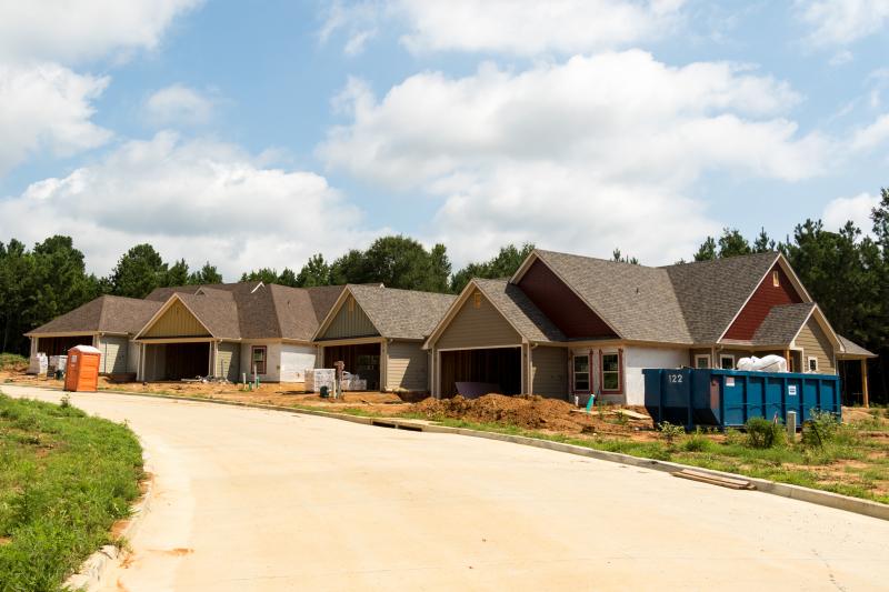
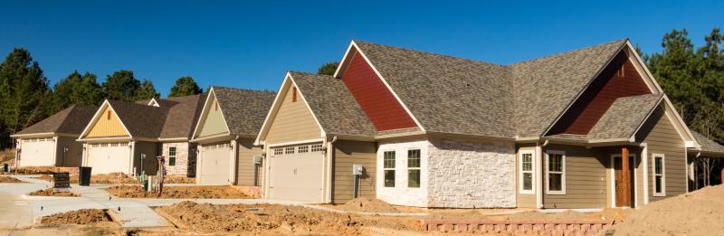
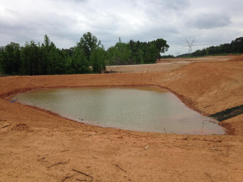
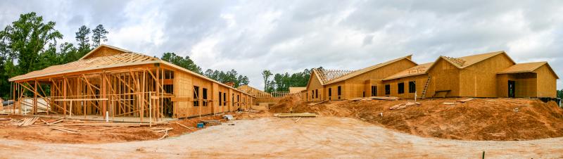
Page Creek Subdivision
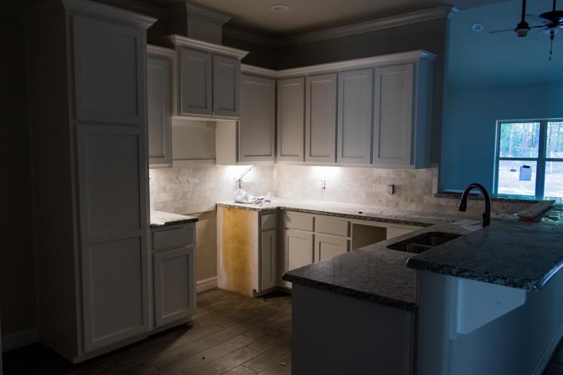
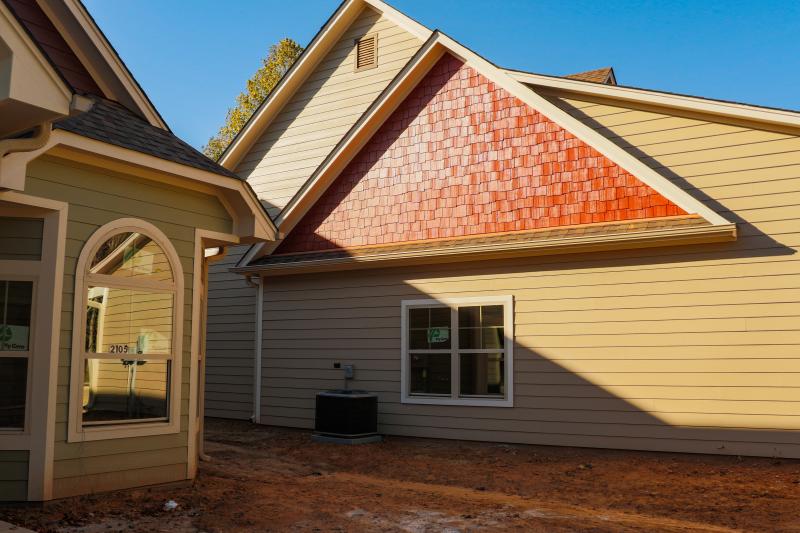
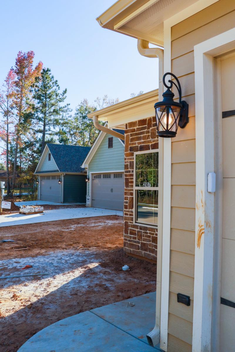
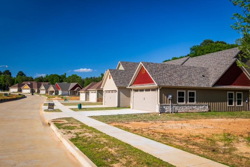
Page Creek Trail is a fifty-six (56) unit luxury town-home community on 18.93 acres with landscaping, sidewalks, walking-trails, neighborhood dog park and completely surrounded by mature natural green-belt each with a privacy fenced back yard. Consists of 1450+- Square foot homes with optional 2 or 3 bedroom floorplans. Construction will be done in two phases: 30 homes in phase 1 and 26 in phase 2.
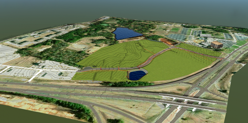
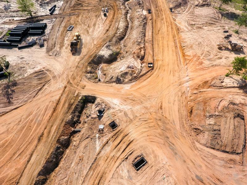
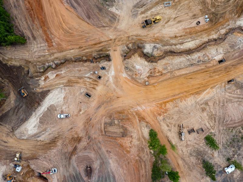
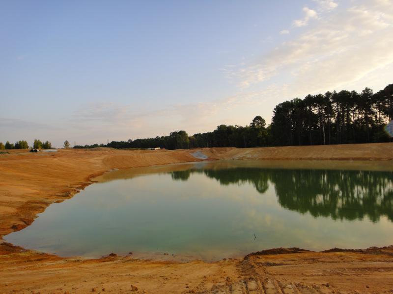
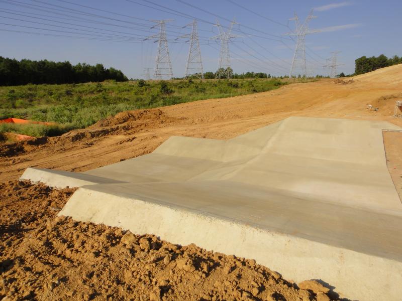
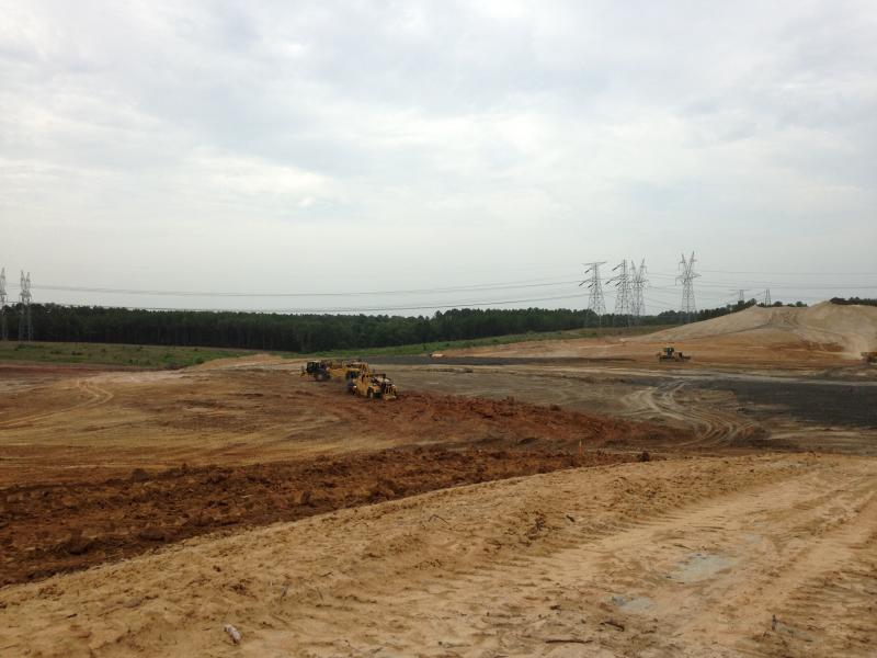
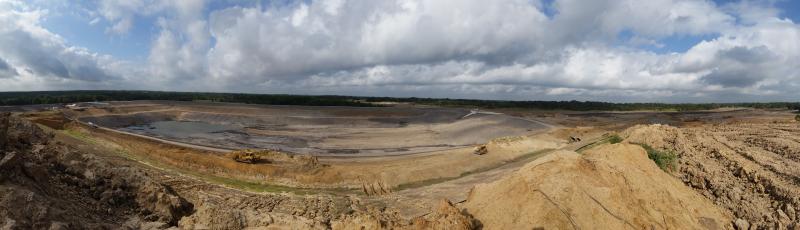
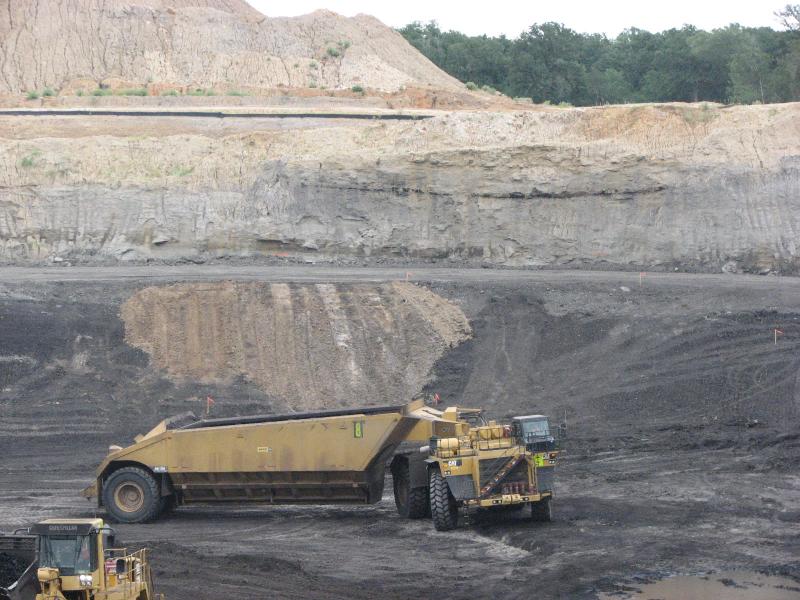
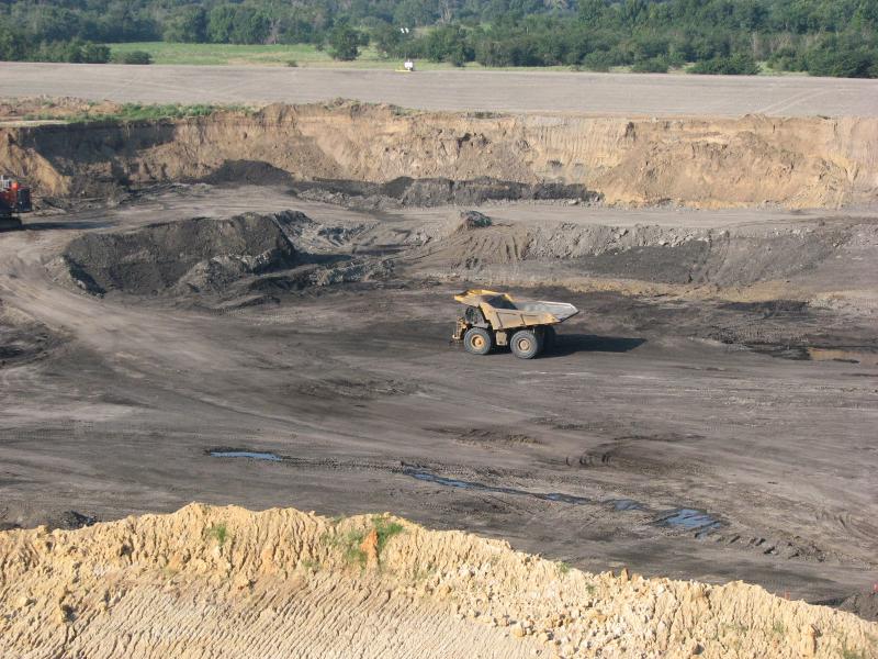
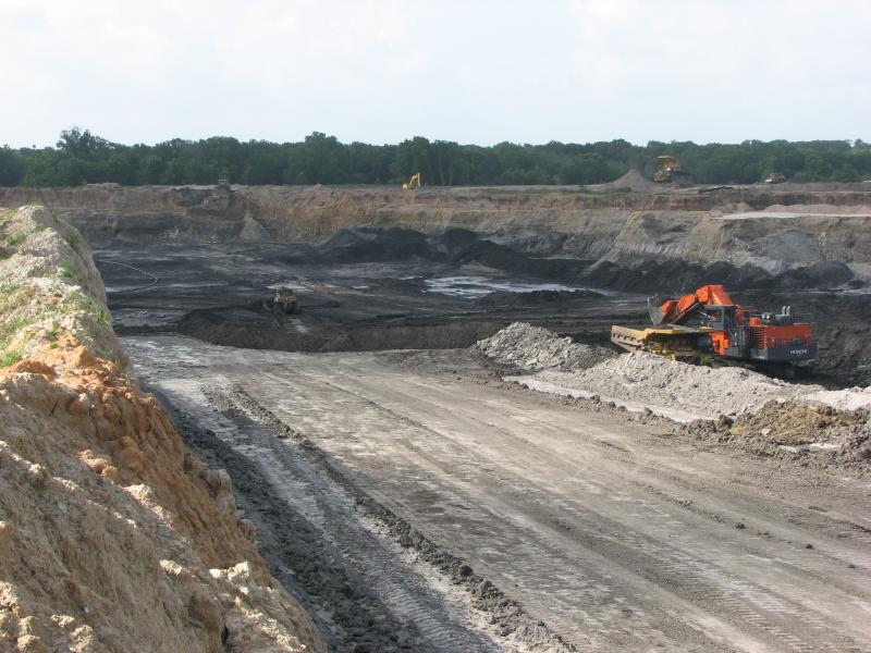
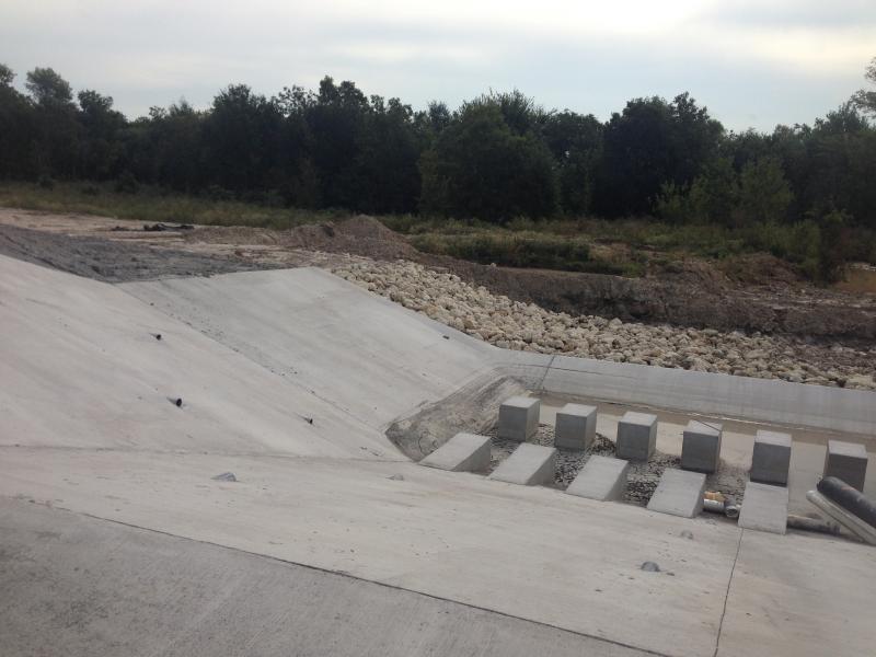
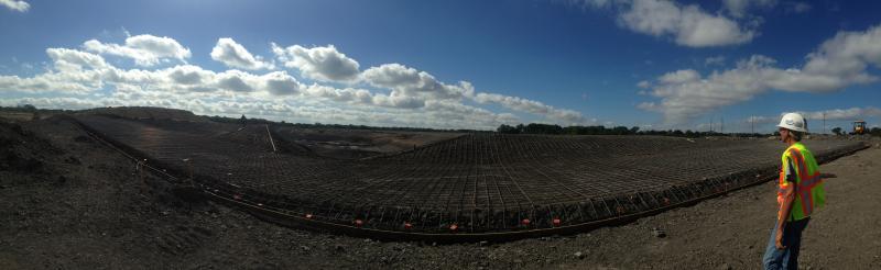
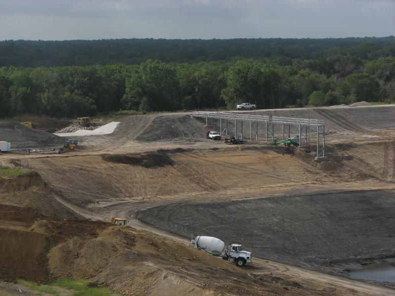
Liberty Mine
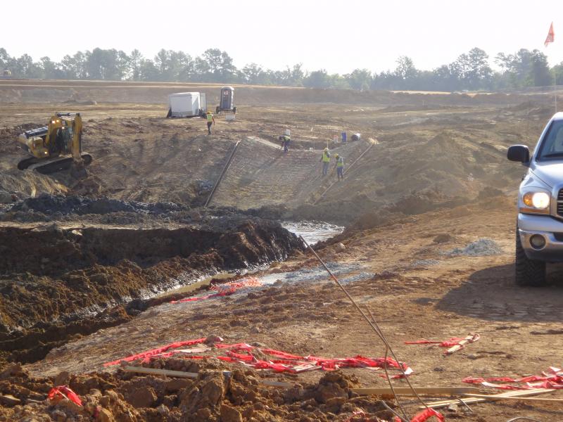
JPI provided engineering services on the Liberty Mine. This is a multiple dragline operation providing lignite for the Martin Lake Steam Electric Station. We provided services including regulatory and permitting, civil design, and project management for all of the initial design including dragline walkways, haulroads, sedimentation ponds, facilities, county road relocations, and environmental.

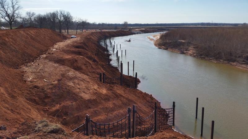
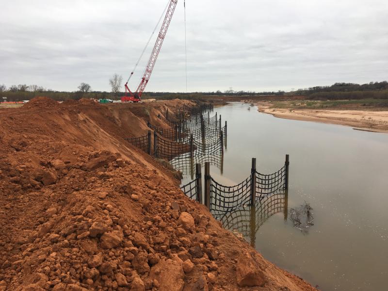
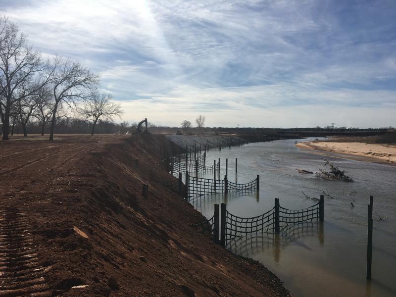
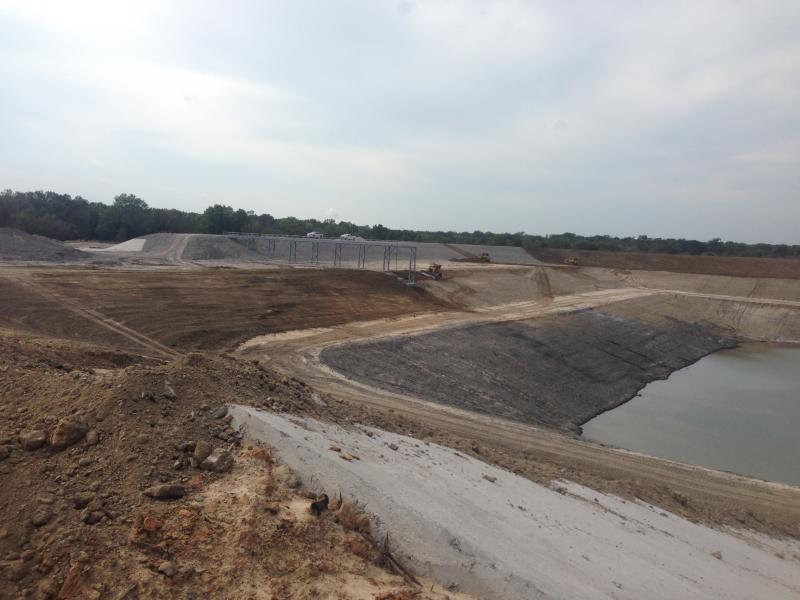
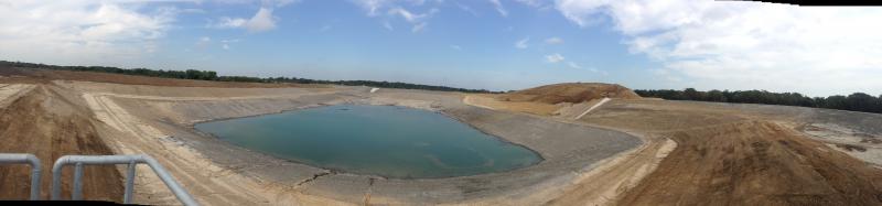
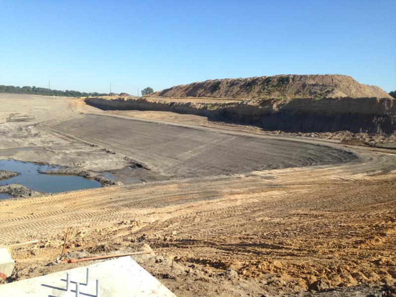
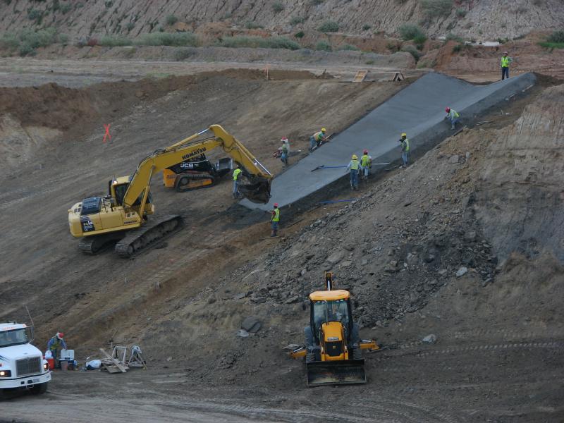
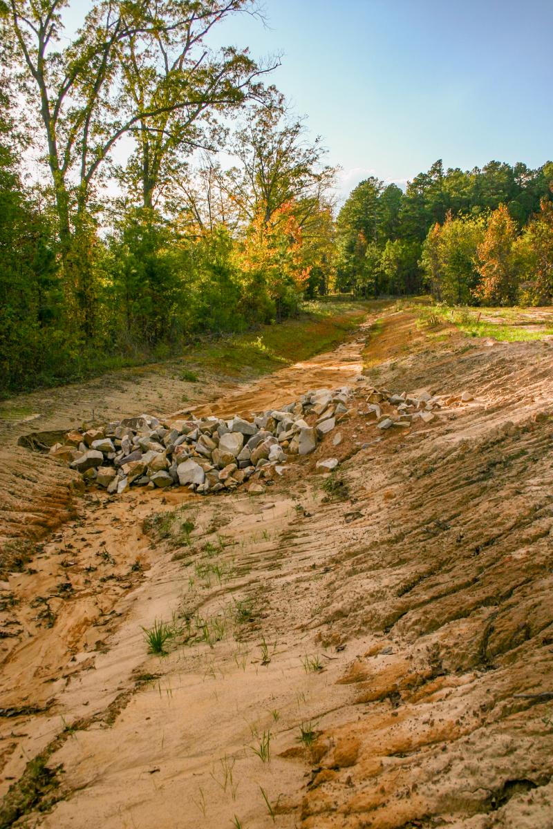
XTO River Erosion
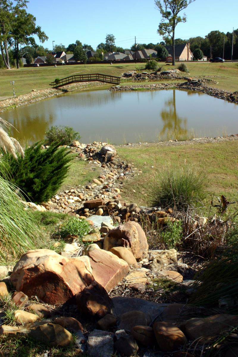
This project included surveying, engineering, and project management required to stabilize the banks of the Washita River near Ardmore OK. The solution was a combination palisade system with grading and rock riprap armor. We oversaw the project from inception through completion. A JPI representative was on-site for the entire construction process. The resulting structure immediately reduced velocities along the bank. This created conditions for sediment deposits to accumulate to begin rebuilding the bank.
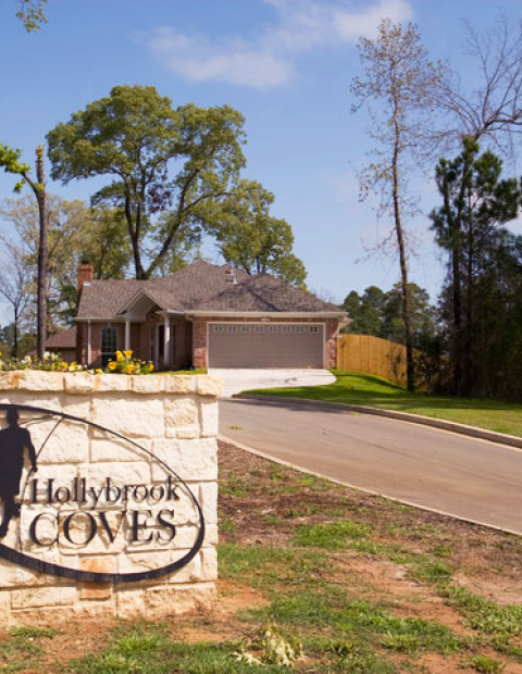
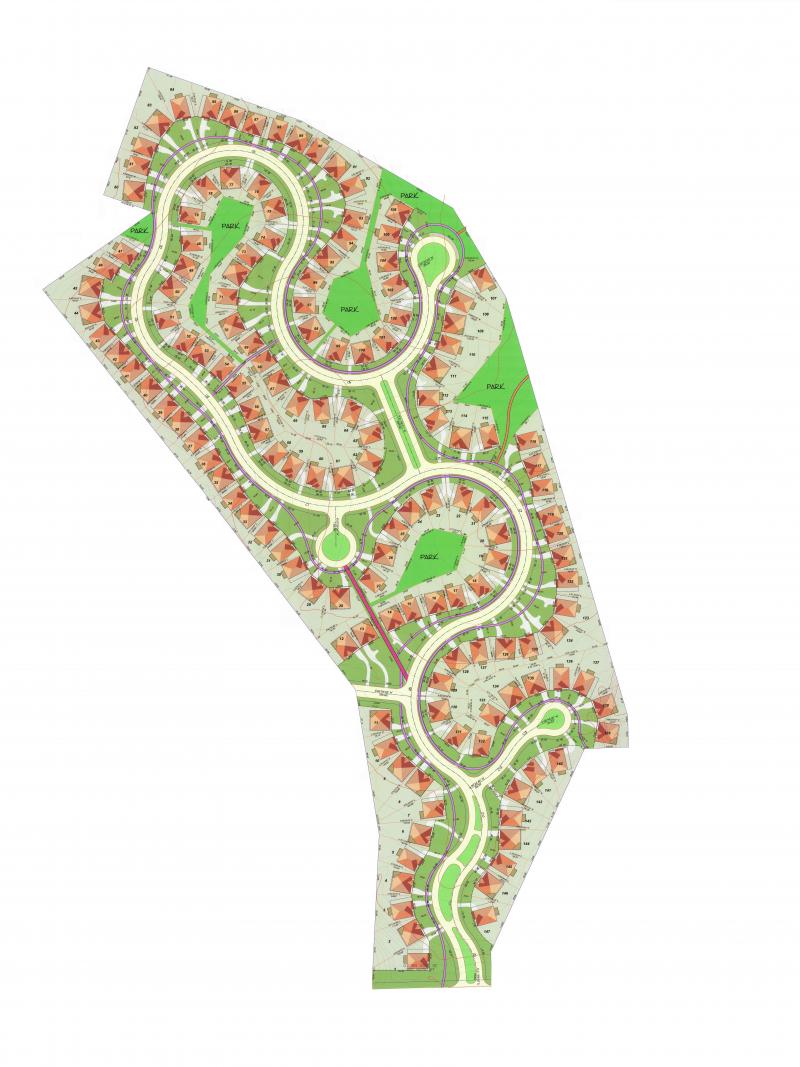
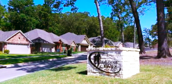
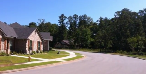
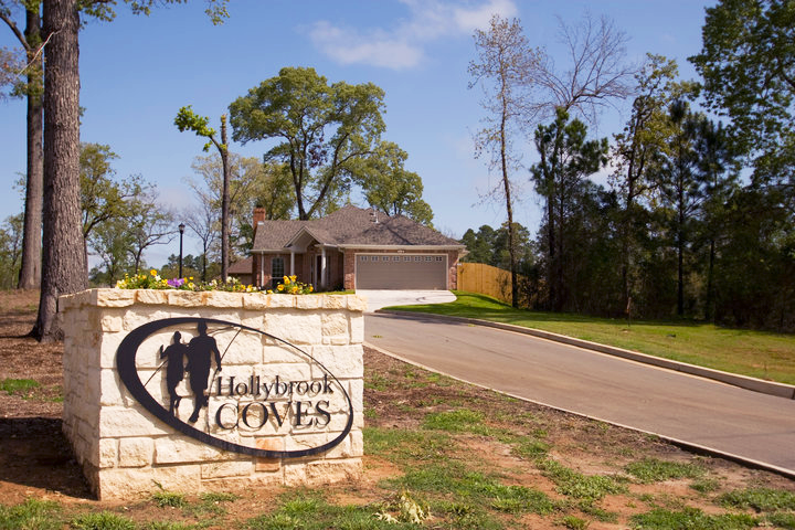
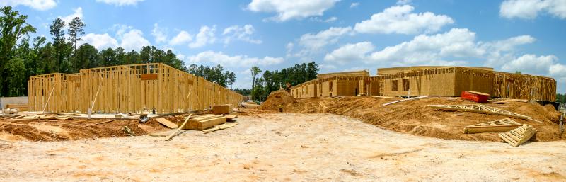
Hollybrook Coves Subdivision
The Yowell Group hired Johnson & Pace to develop this new subdivision with 147 lots covering 42.5 acres. Our plans included walking trails and dog parks, underground utilities, and the preservation of fully-grown oak trees in the subdivision common areas and on individual lots. In 2011, we began work on Phase II with another 42 lots.
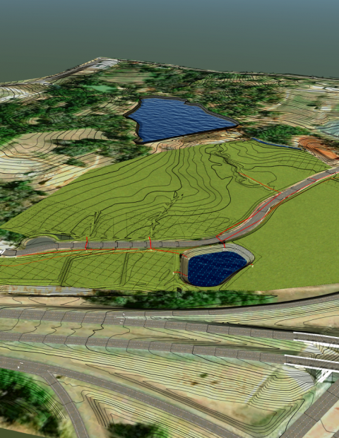
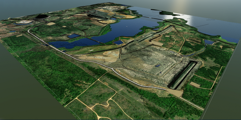
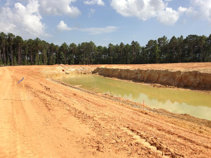
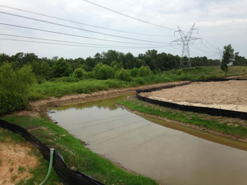
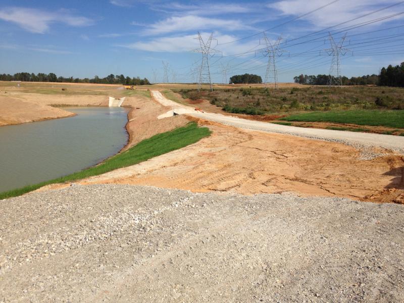
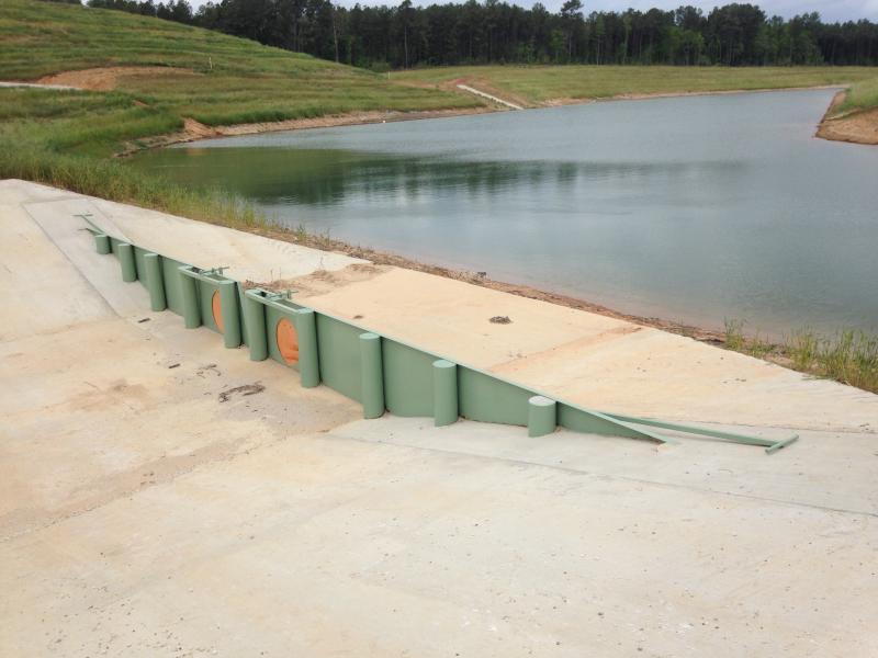
Kosse Mine
Johnson & Pace was hired by Luminant to provide the engineering designs necessary to open a new mining area for the Kosse Mine. We partnered with Luminant to procure mining permits from the Texas Railroad Commission. We provide them with hydrological and hydraulic analyses, designs for State and County Roads, Mine haulroads, Dragline Walkways, Ponds, Creek Relocations, Diversions, and large Flood Studies.
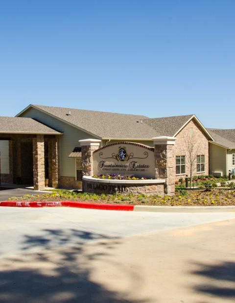
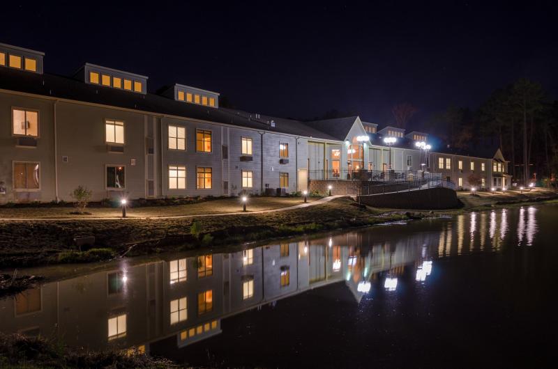
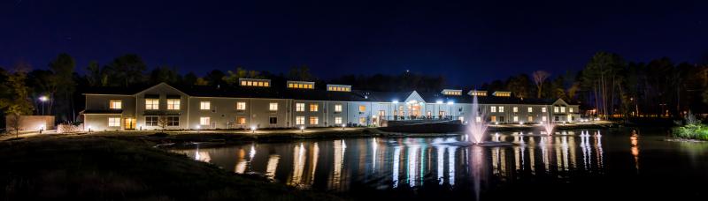
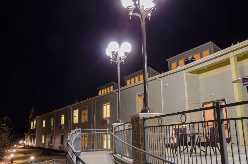
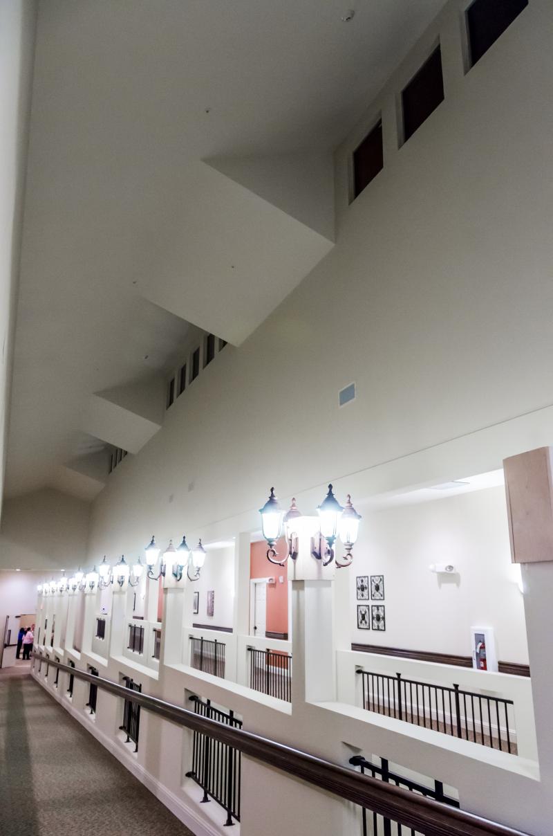
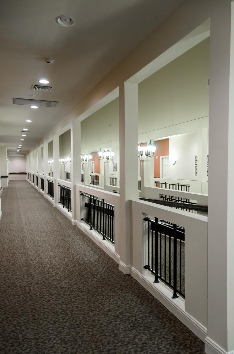
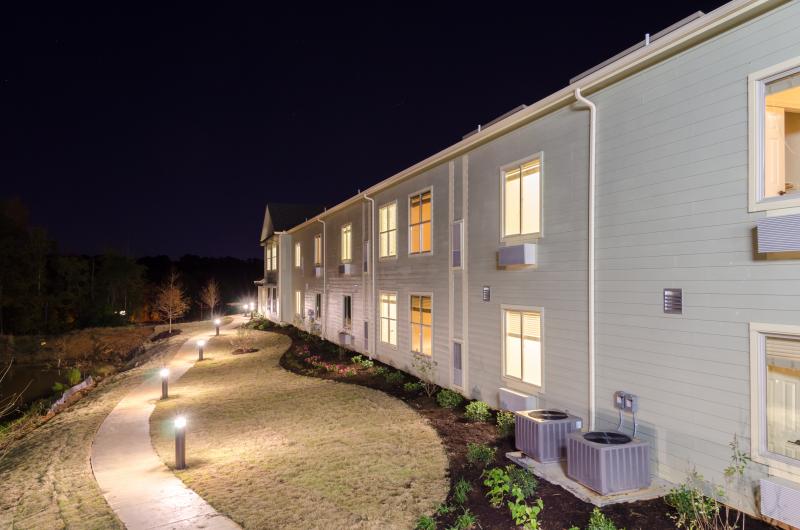
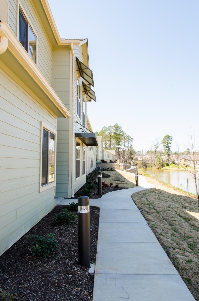
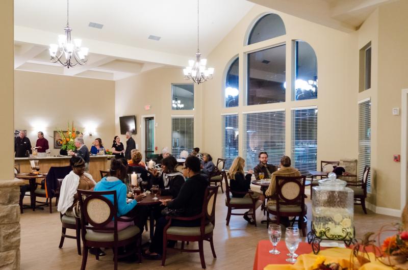
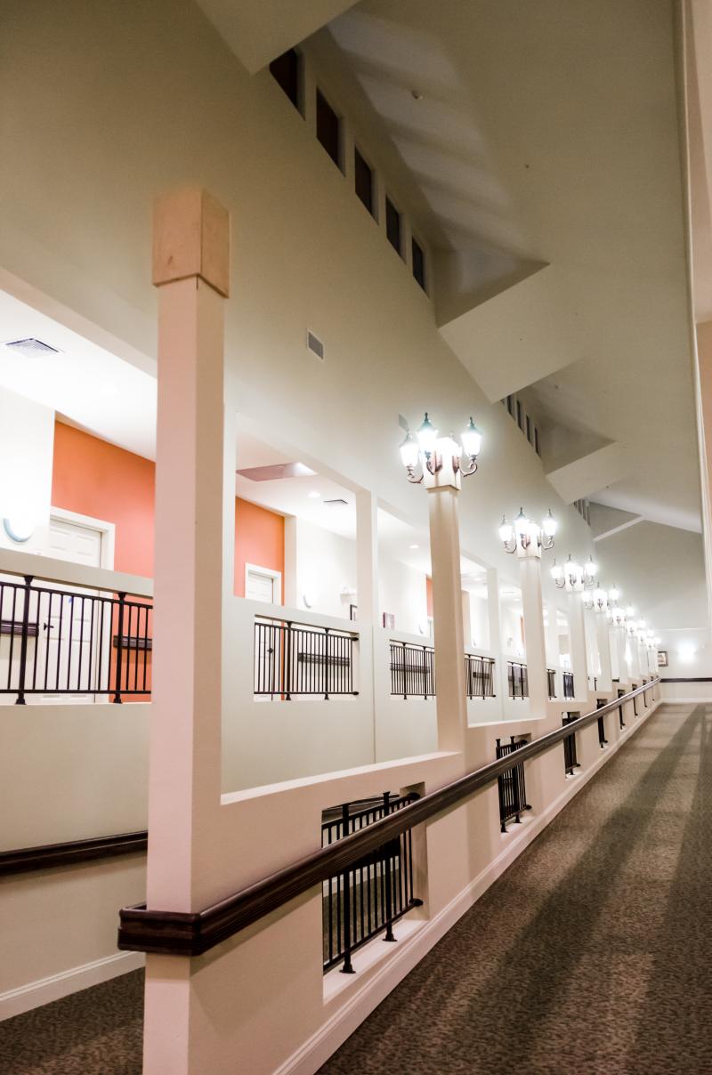
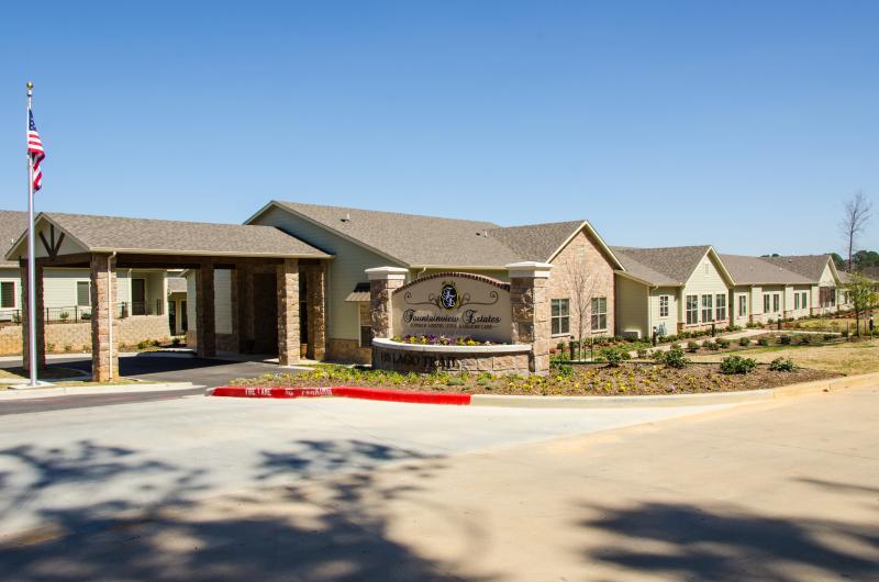
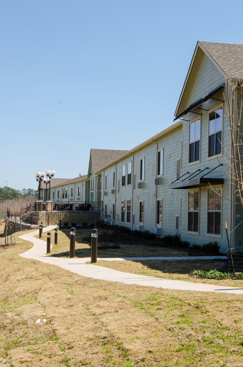
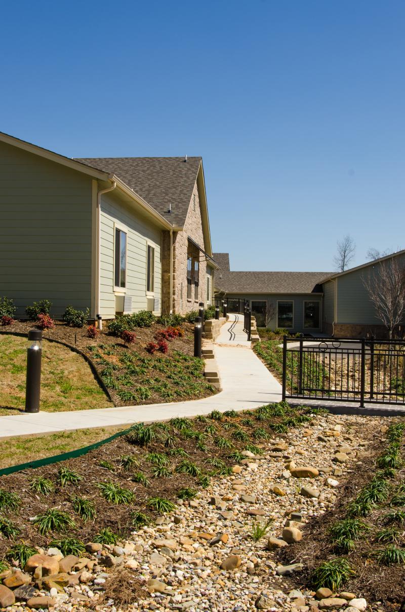
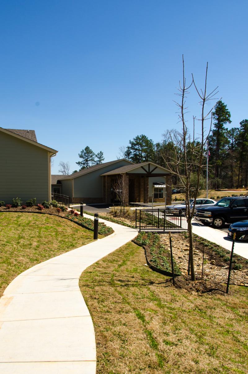
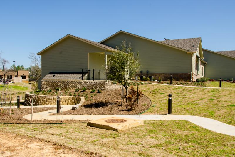
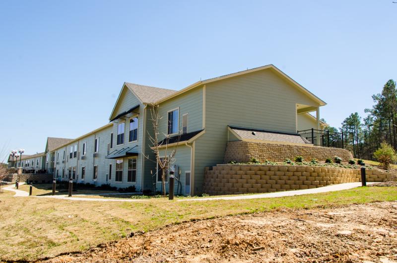
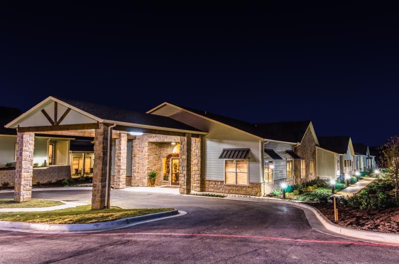
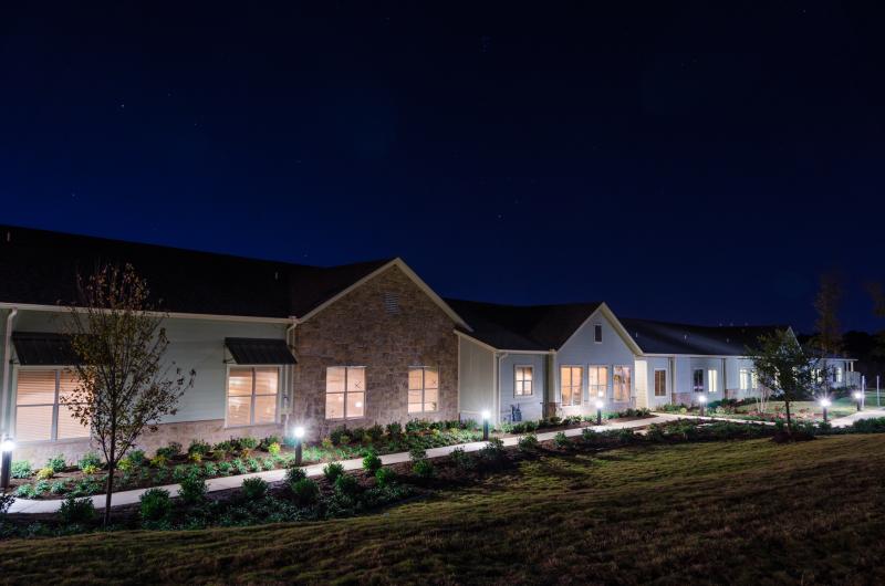
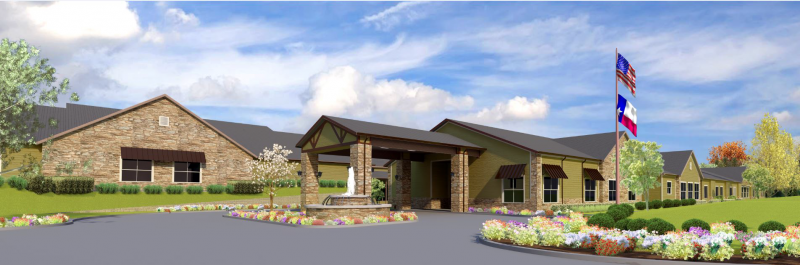
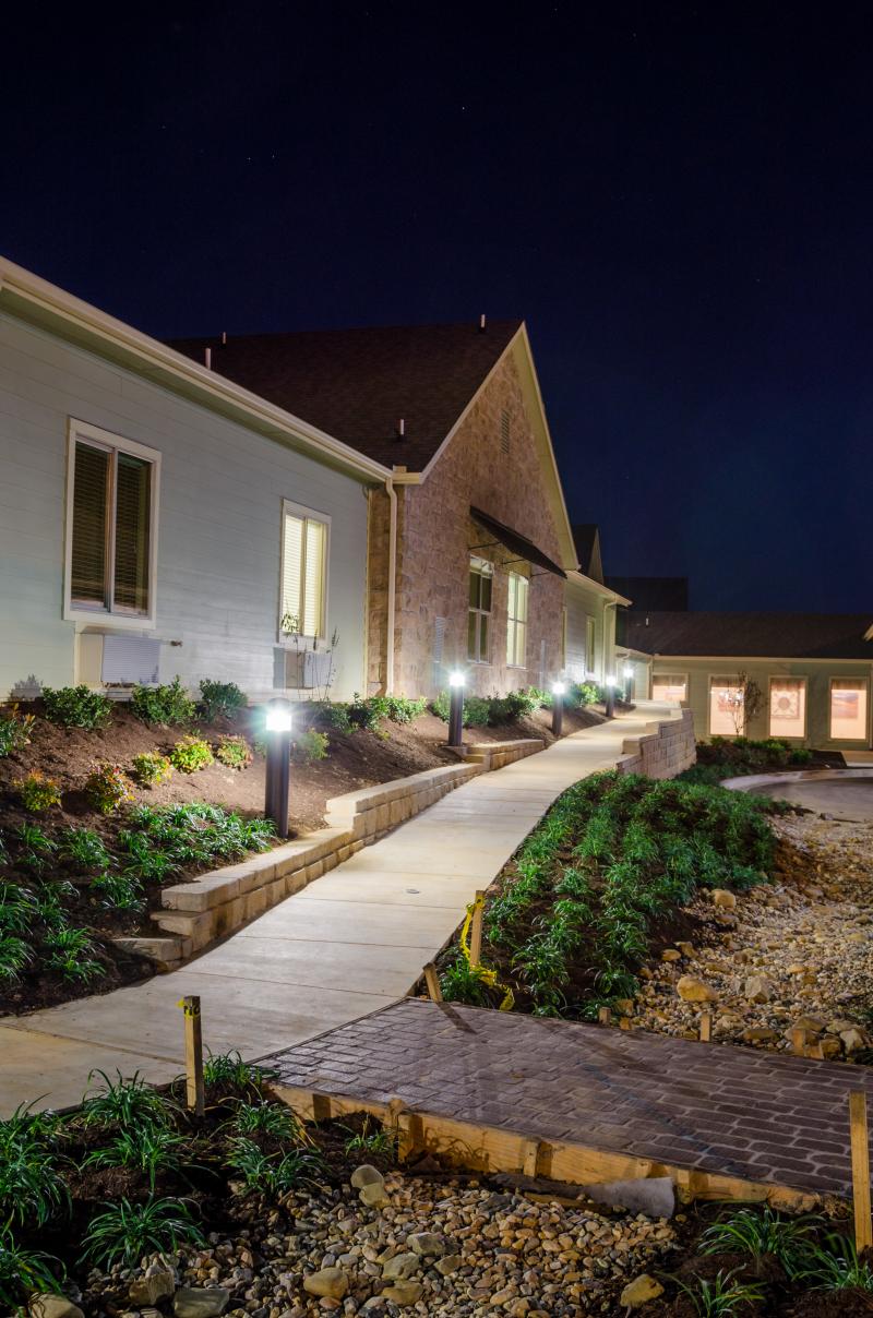
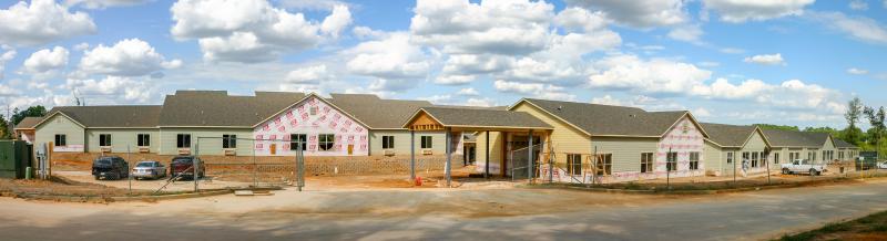
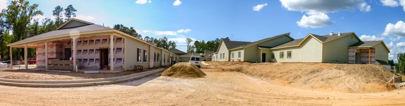
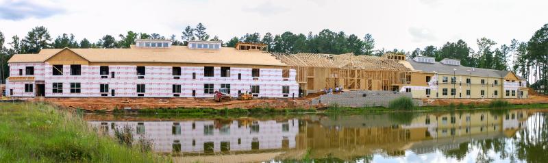
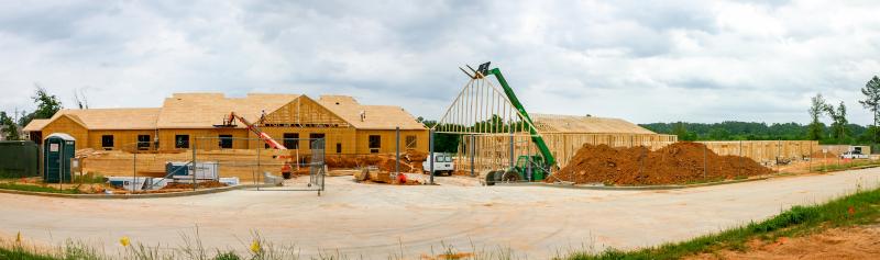
Fountainview Estates
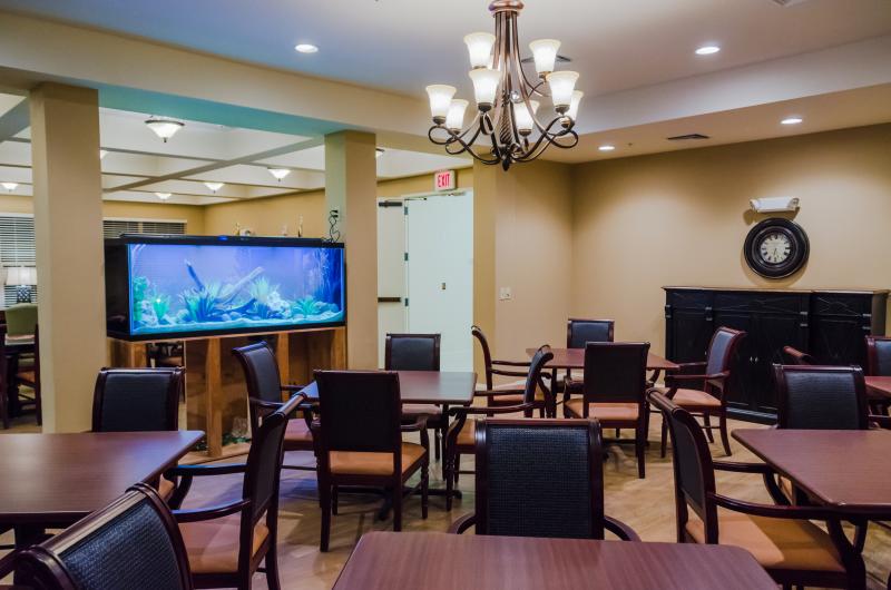
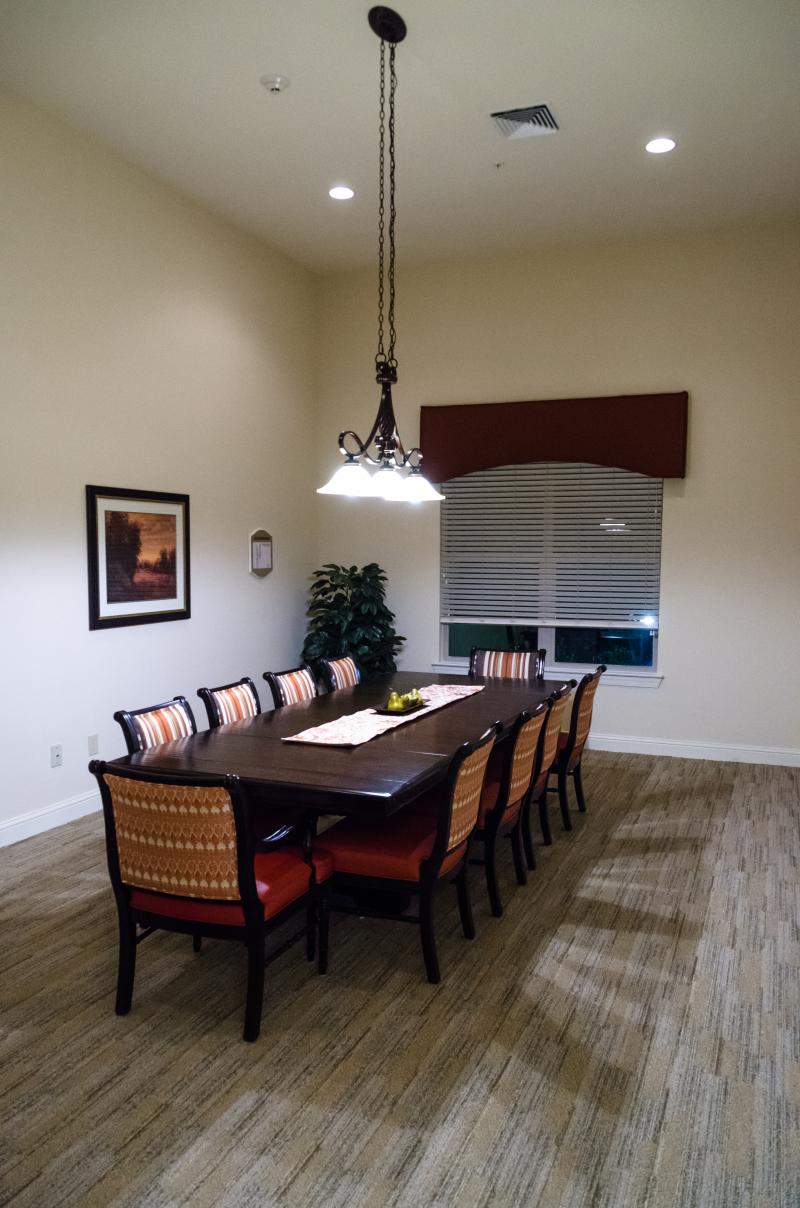
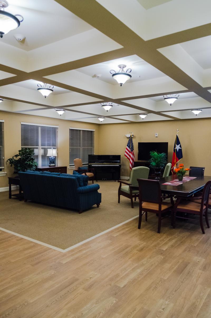
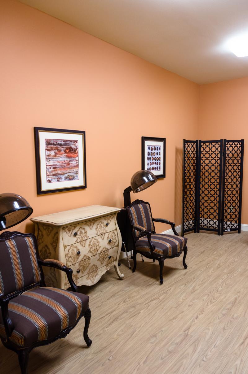
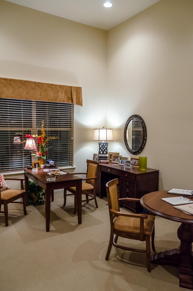
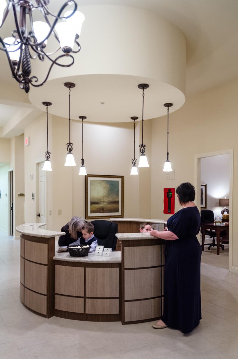
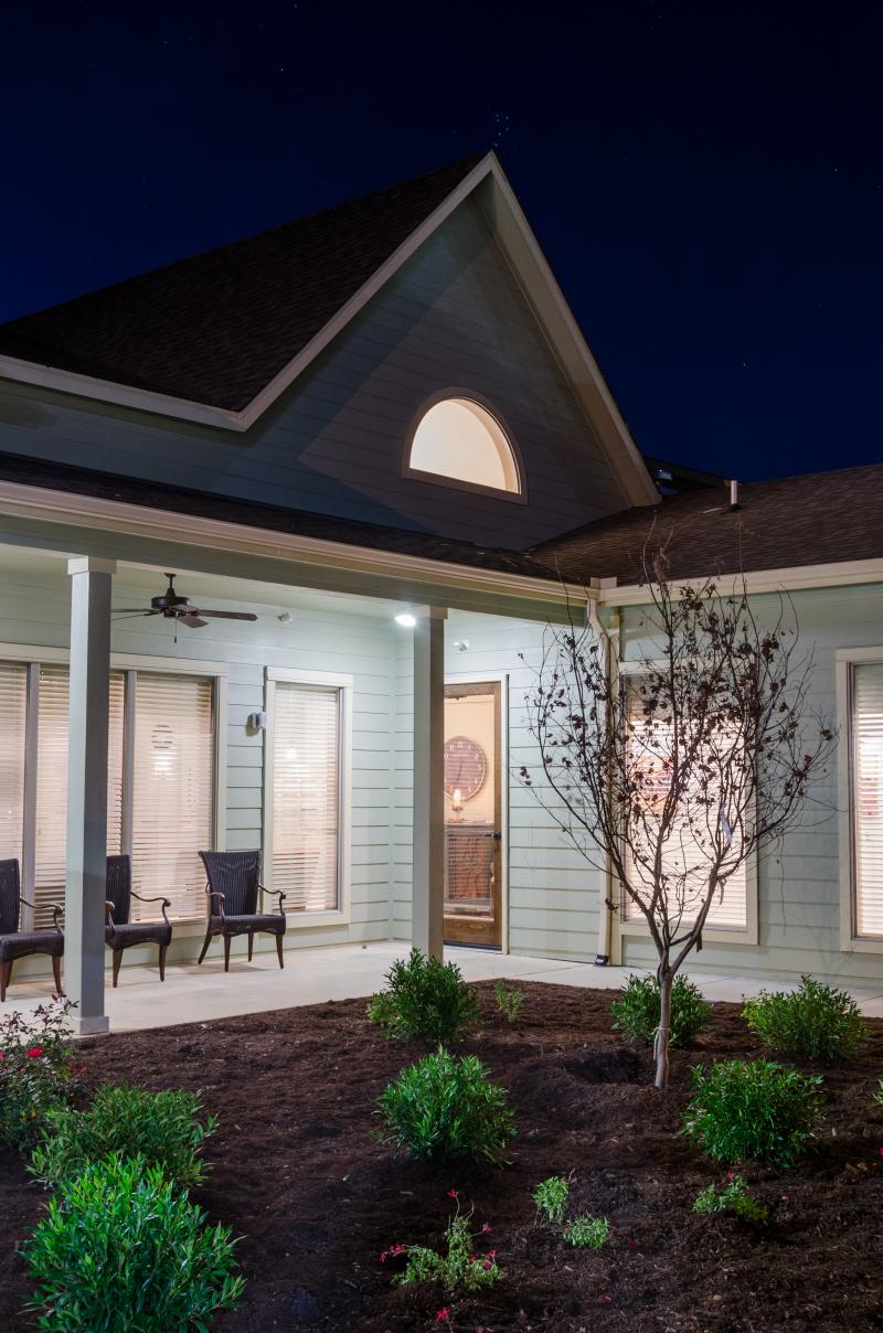
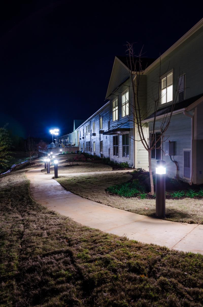
Johnson & Pace designed a 12,000 S.F. wood-frame, residential style facility located on 3 Acres fronting Lago Trail with the following superior senior living amenities with 10 ft. ceilings: waterfront community dining room, majestic theater, game room, beauty / barber salon, private dining room, nursing staff and private quarters, and postal kiosk. Facility included site access drives, parking facilities, site utilities, and drainage infrastructure.
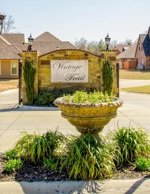
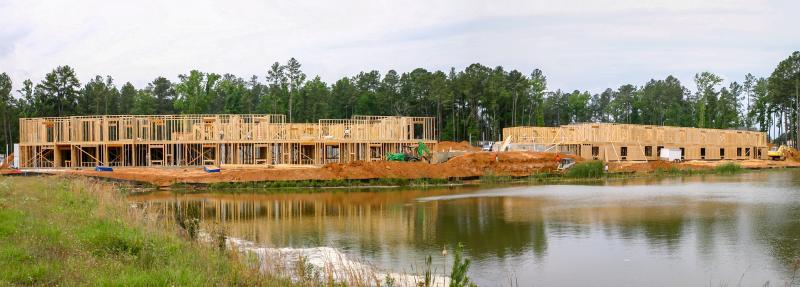
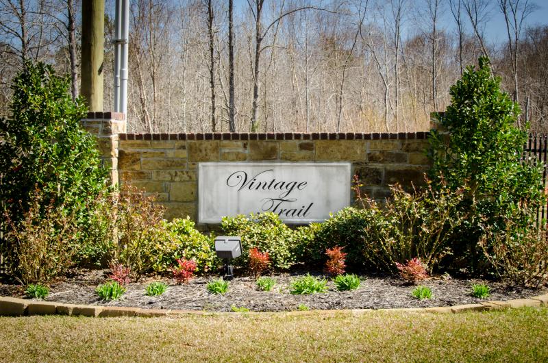
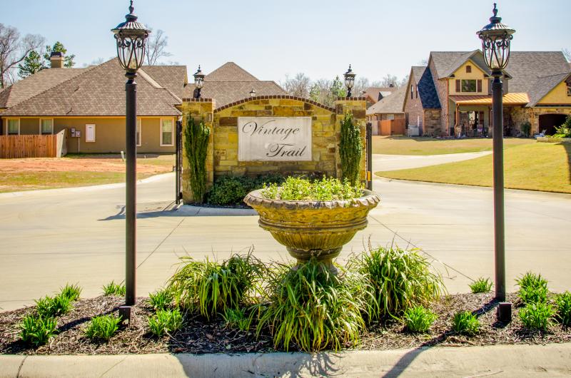
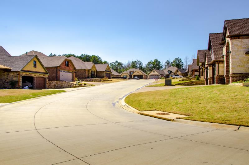
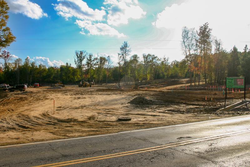
Vintage Trails Subdivision
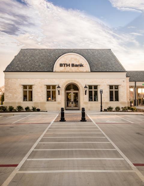
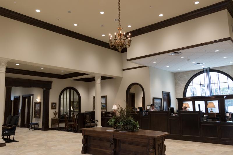
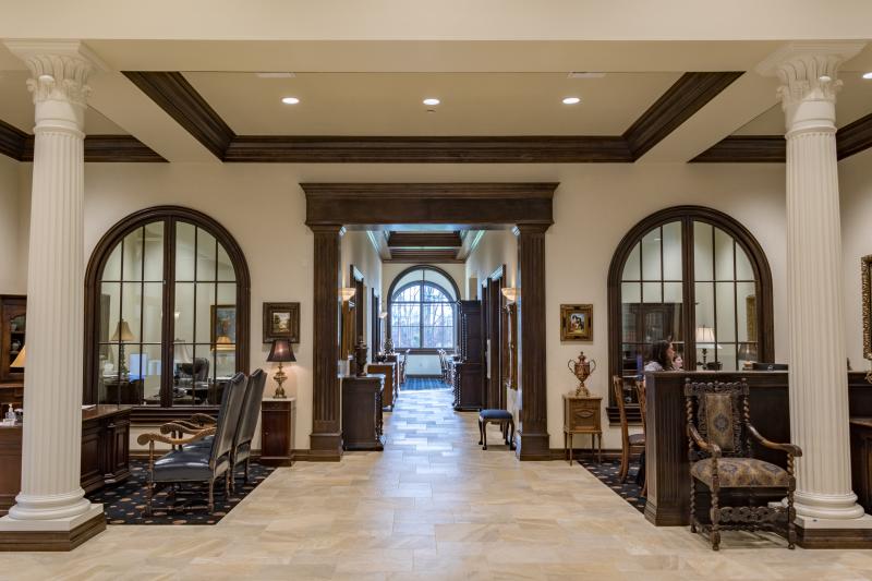
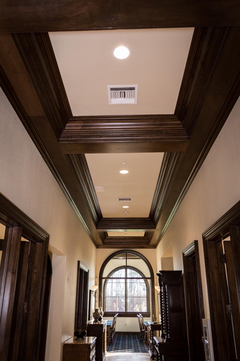
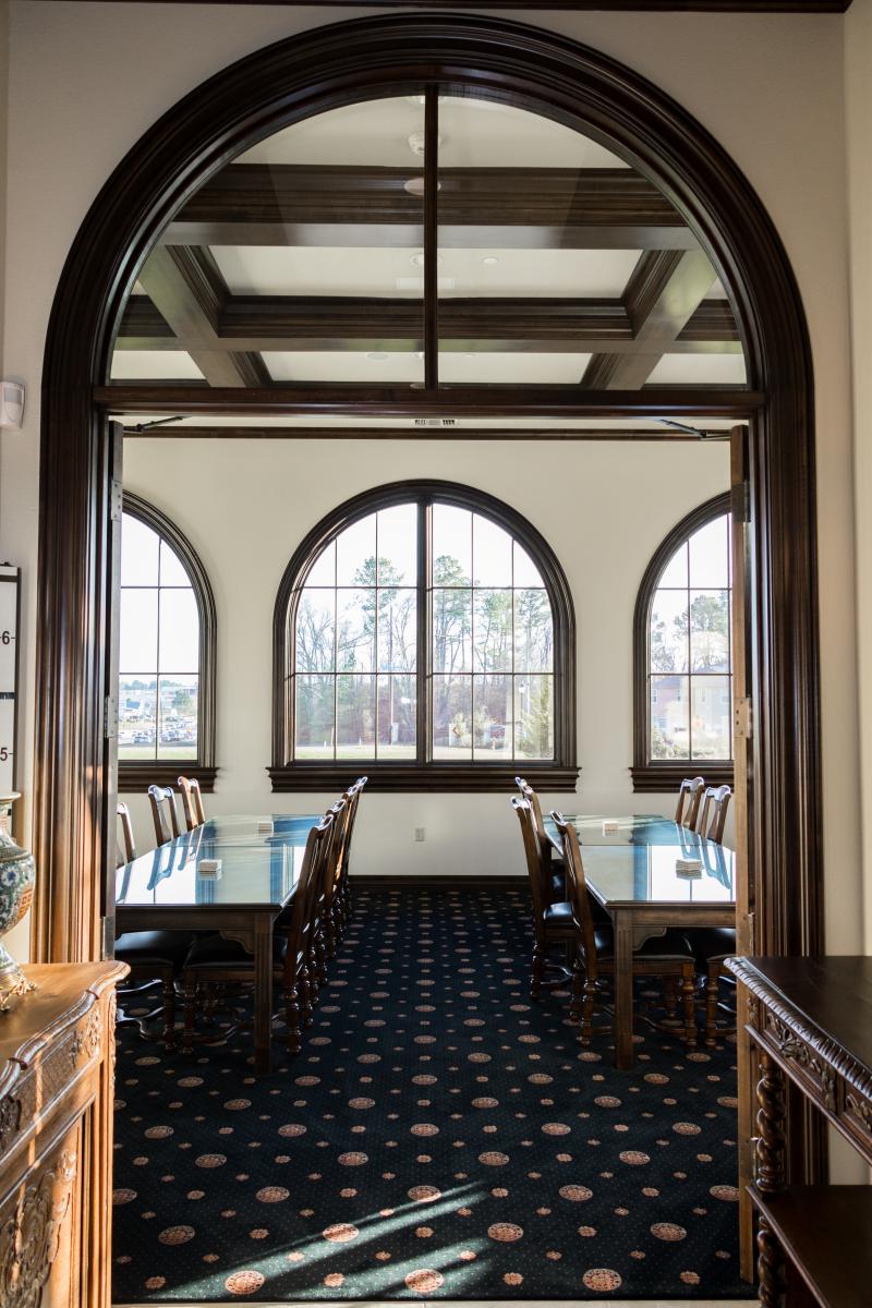
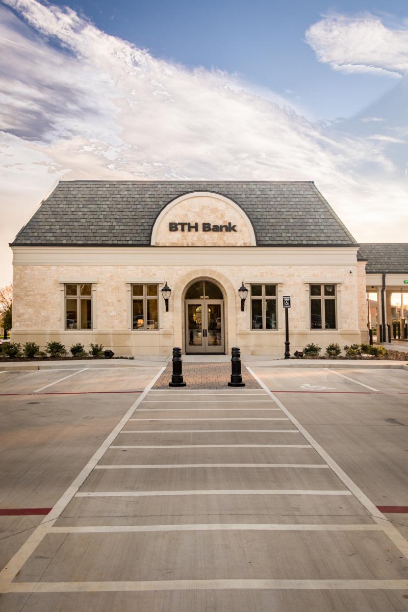
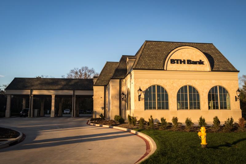
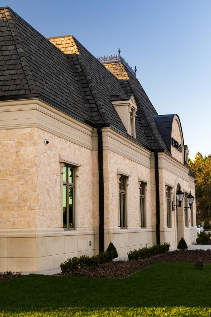
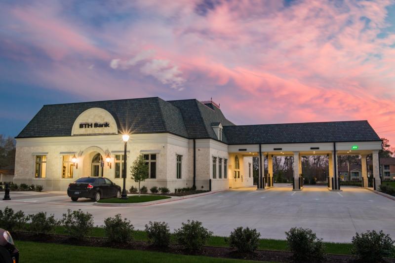
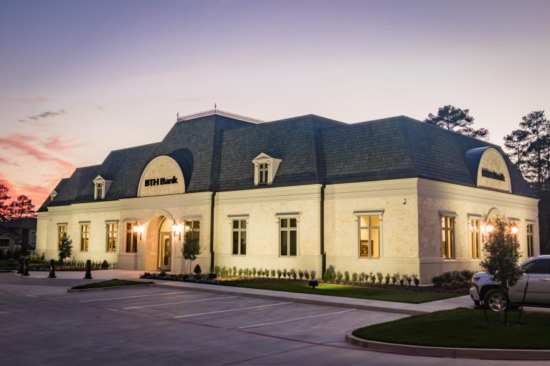
BTH Bank
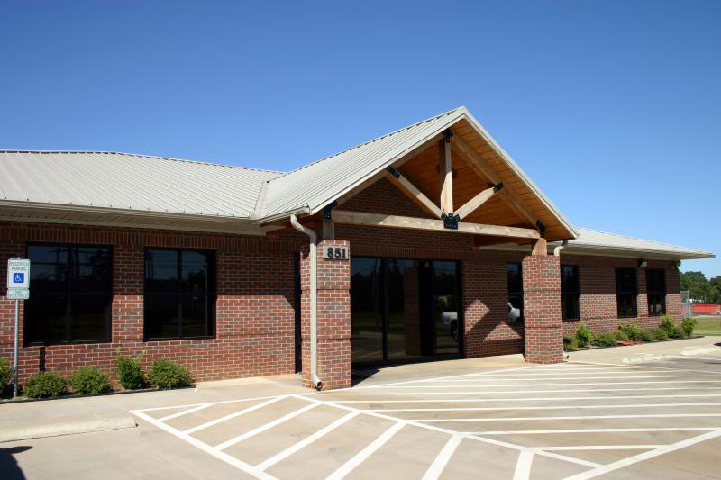
Complete building and site development design of new 7,500 SF bank branch office building. A French Gothic style of architecture was included as a Client requirement. A complete land development design was included for the 3 acre site. We worked with our Client to provide zoning and replatting coordination with the City of Longview.
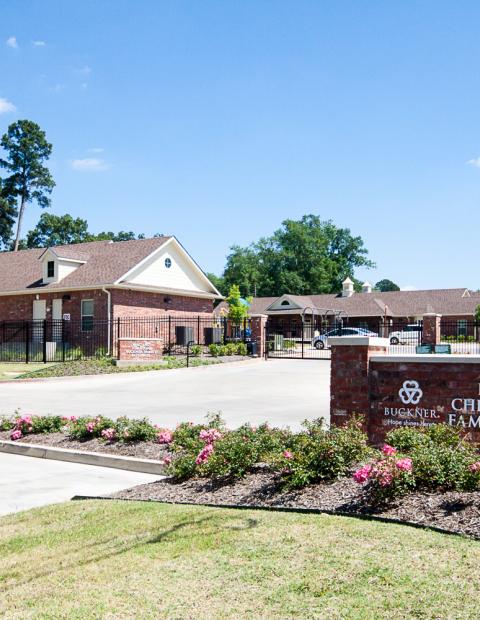
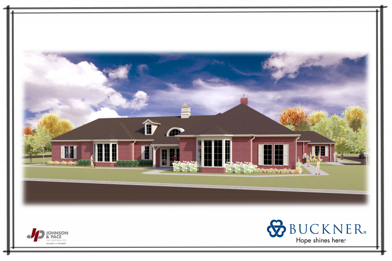
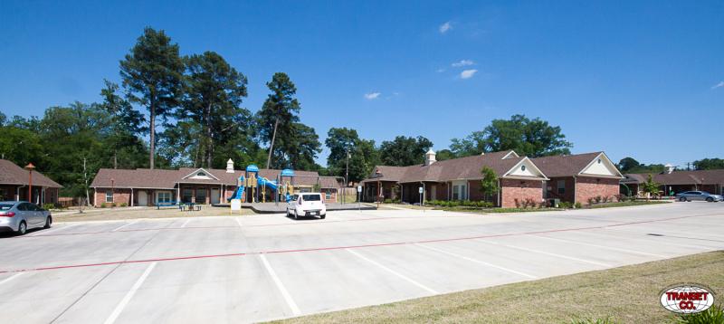
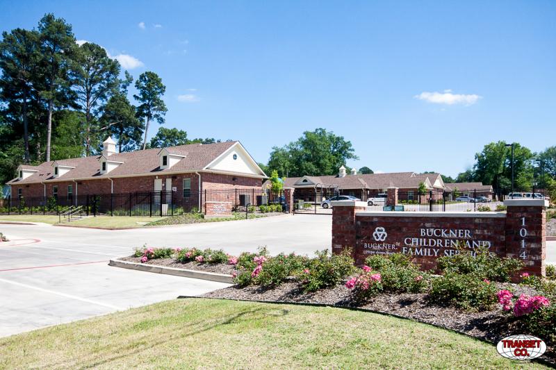
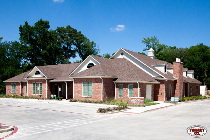
Buckner Children and Family Services
Complete building design of new 11,300 SF office and classroom facility for ministering housing in the Longview area. Complete design of 6 new triplex housing units to provide temporary housing for moderate income families in the Longview area. A complete land development design was included for the 5 acre site. Environmental research and coordination was required with the USACE jurisdiction for the drainage channel running through the property. This site was a challenge to grade for the multiple buildings due to the steep grade across a relatively narrow site.
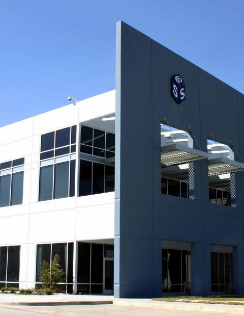
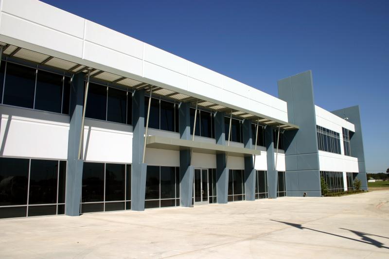
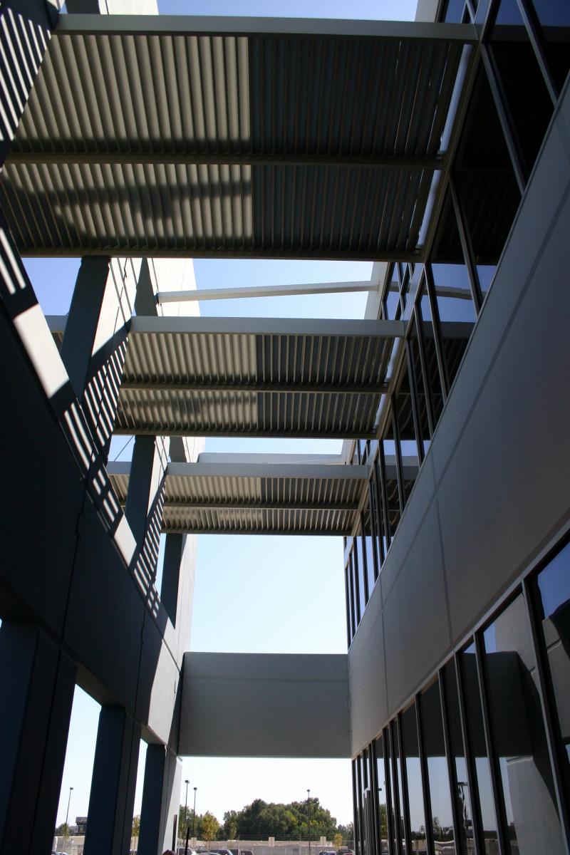
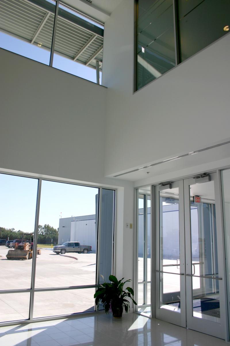
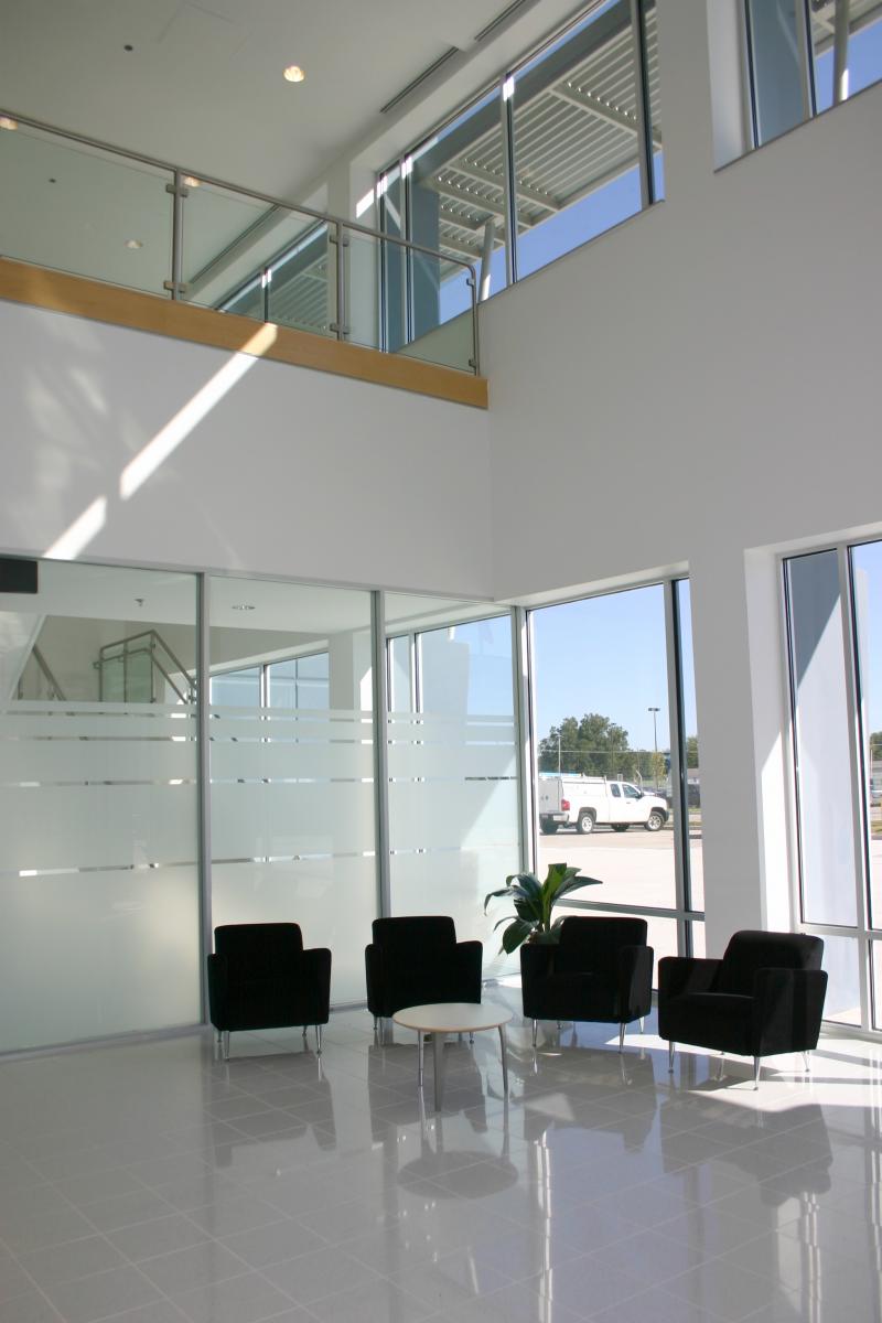
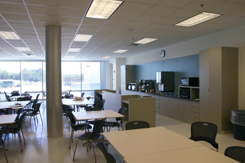
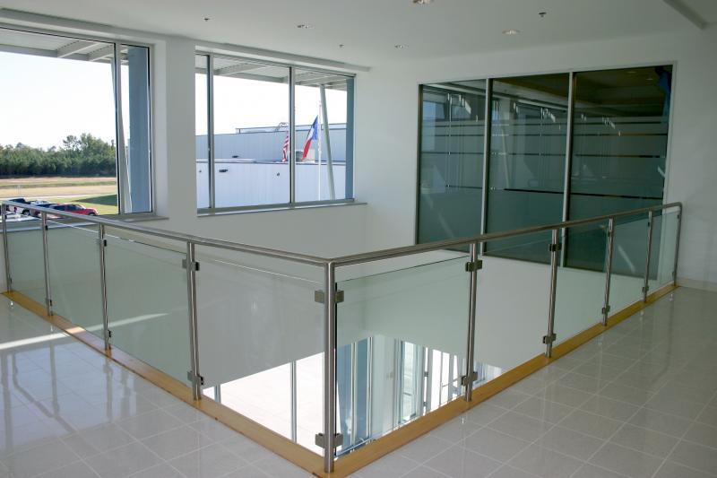
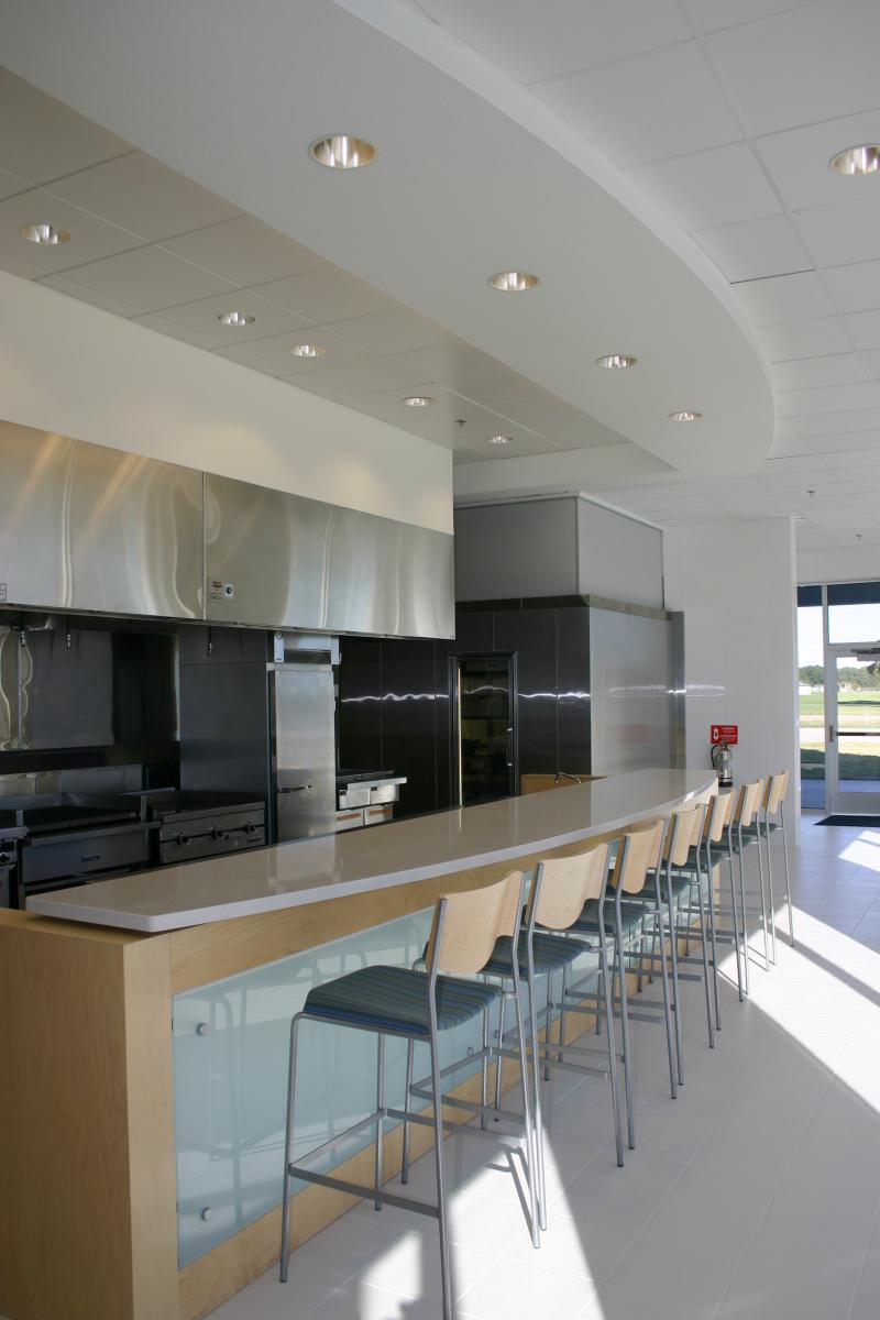
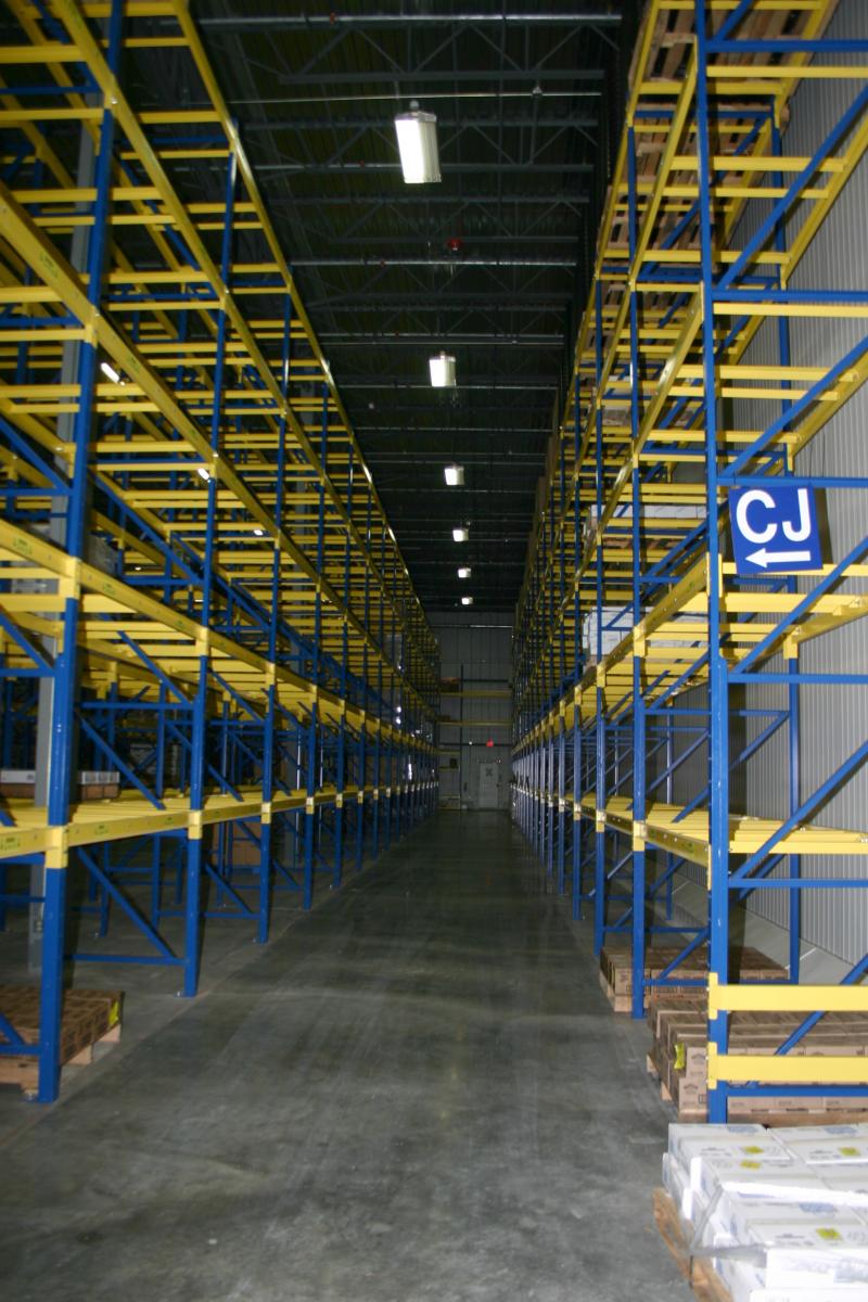
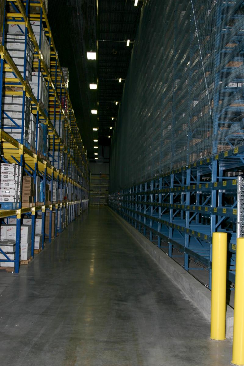
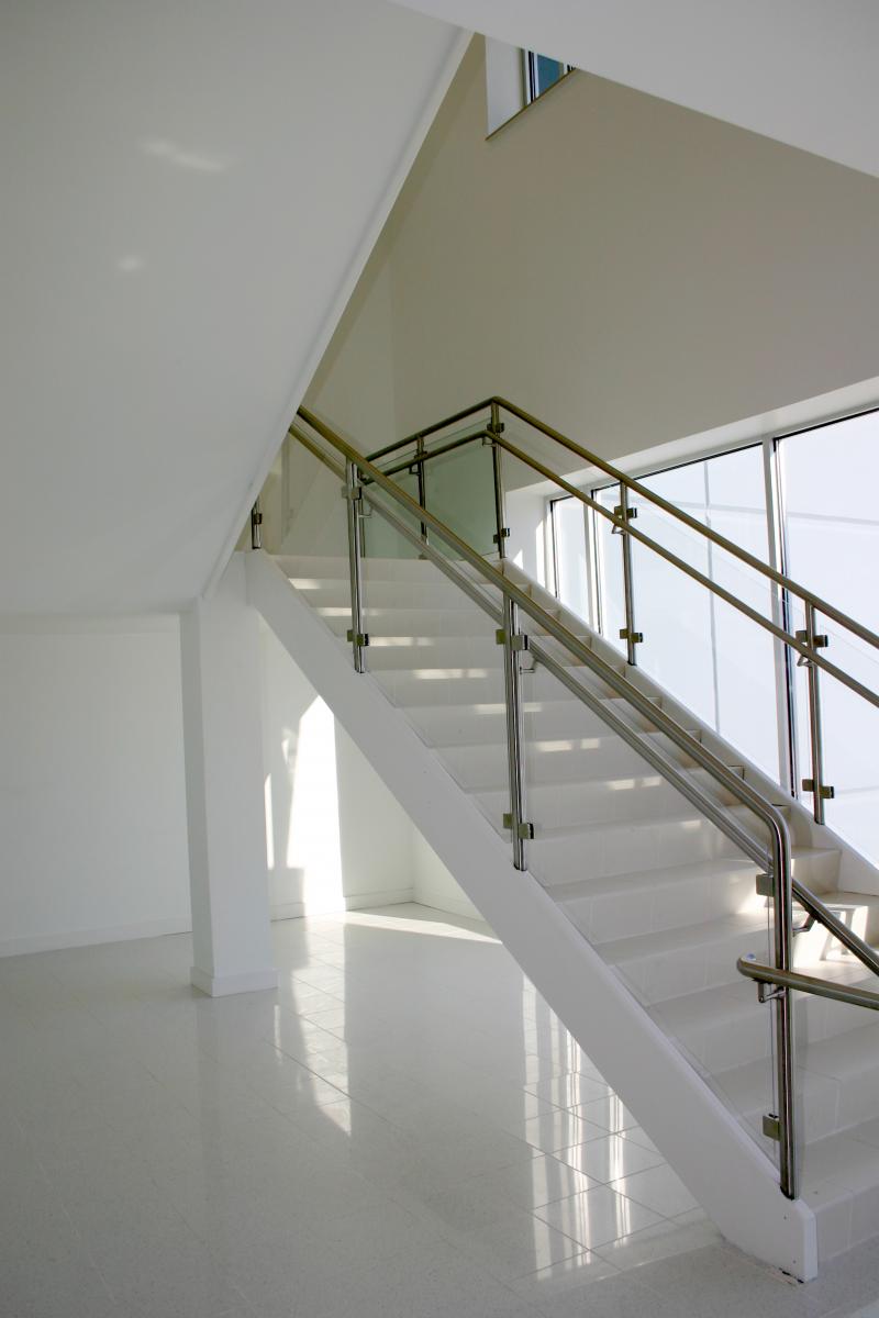
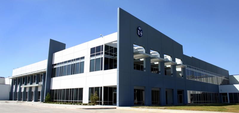
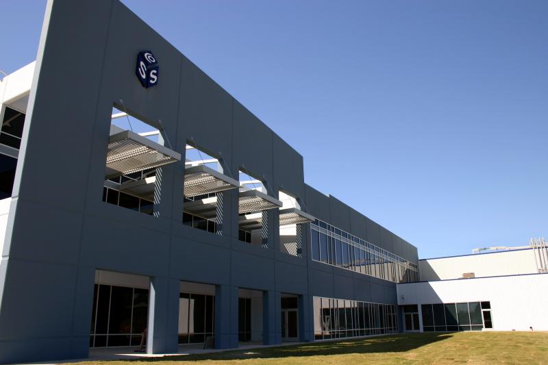
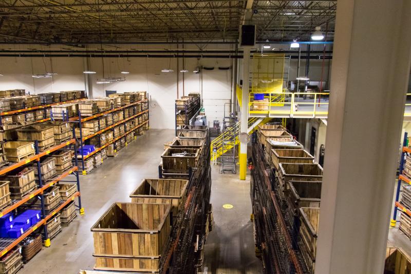
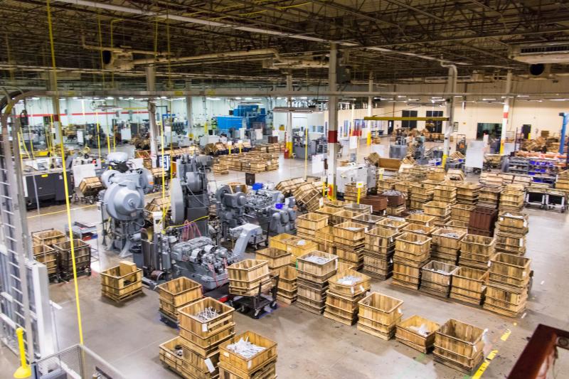
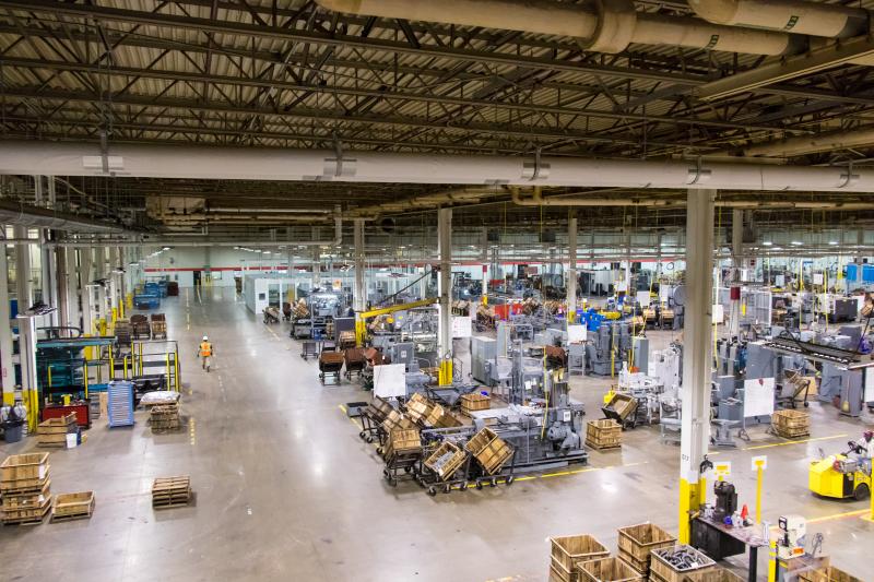
Sysco Foods
JPI worked with Lee Lewis Construction on a design-build project that required the expertise of all Johnson & Pace departments. The $36 million multi-use facility includes a 300,000 sf warehouse facility and a two-story, 65,000 sf office area along with an 11-acre parking lot and truck maintenance facility.
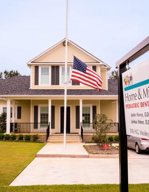
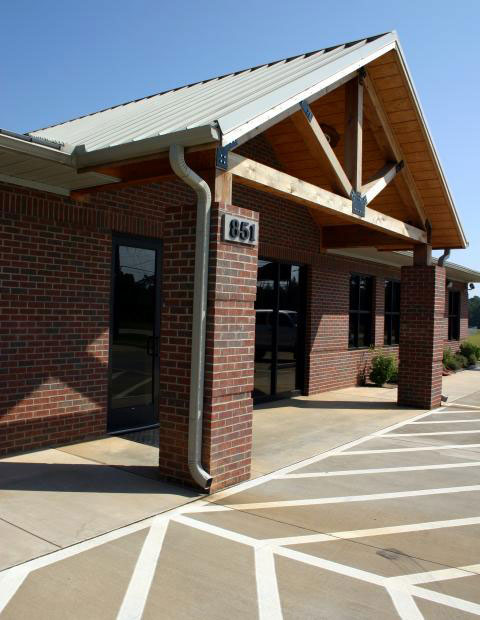
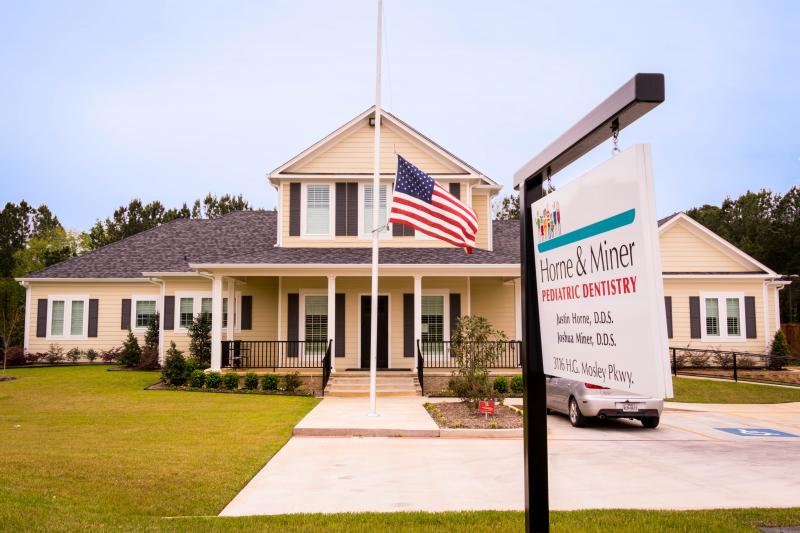
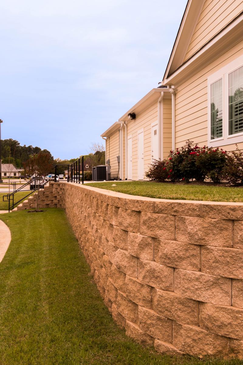
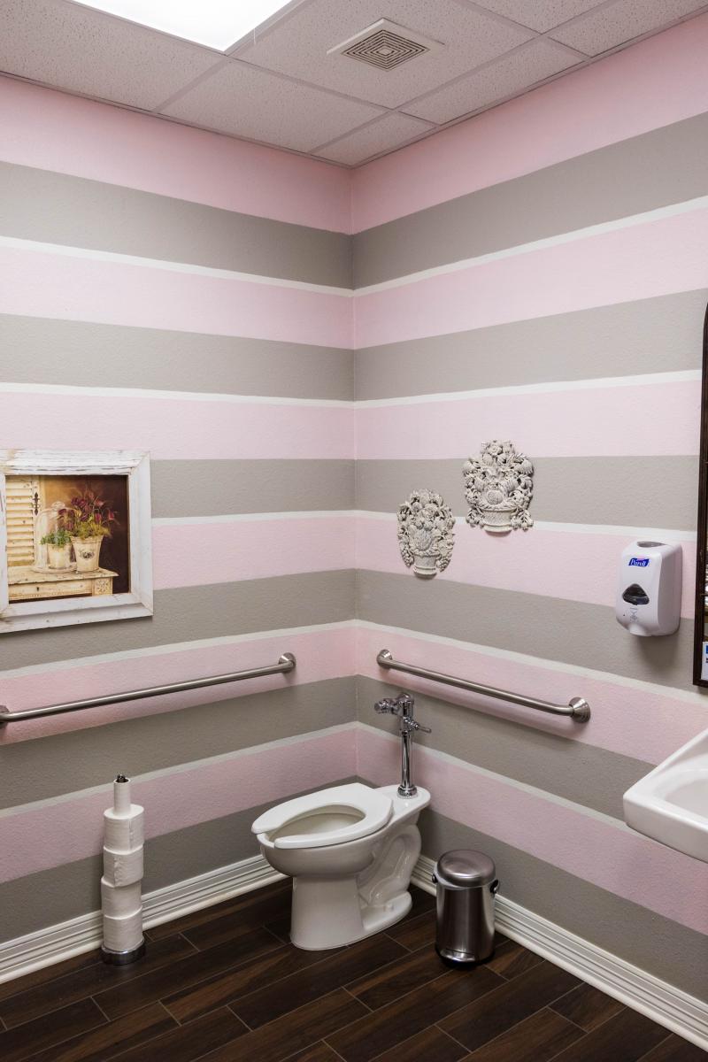
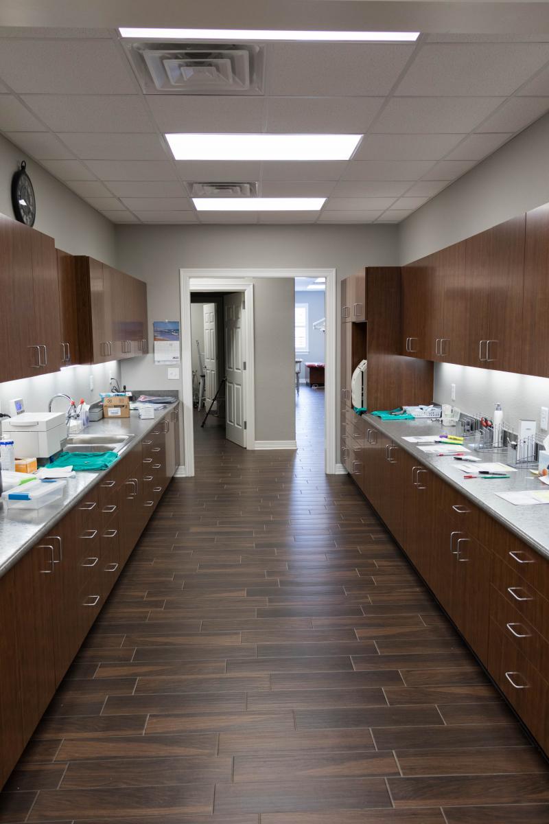
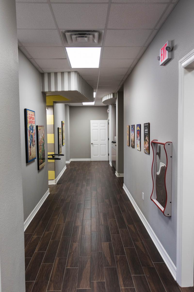
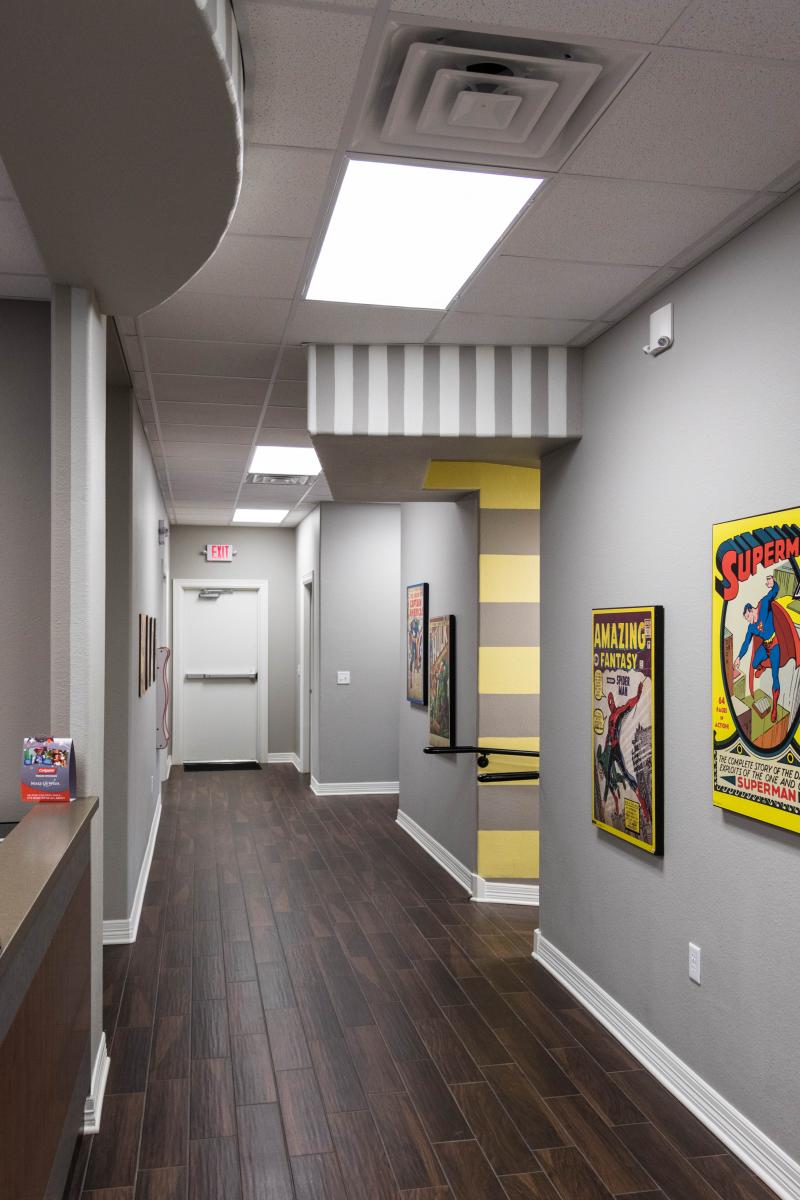
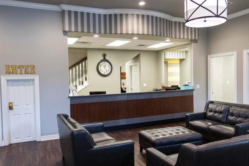
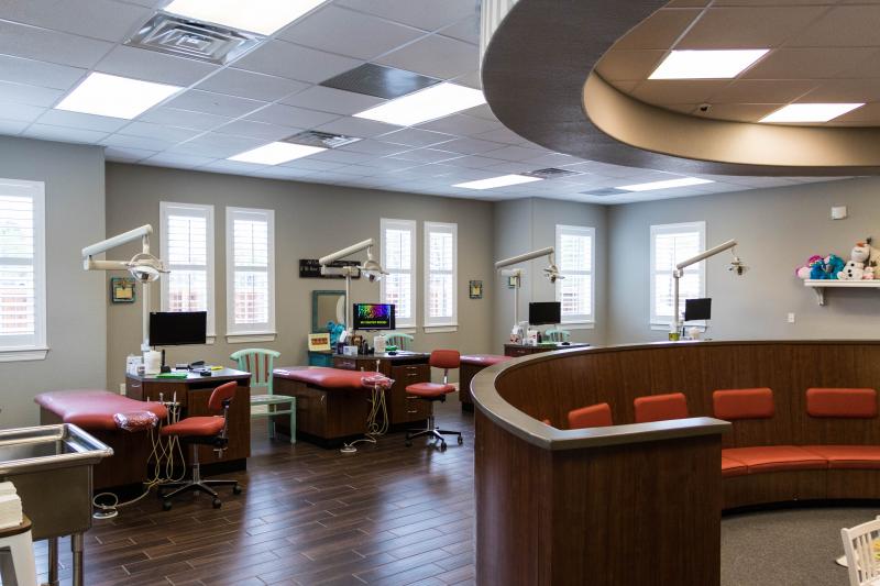
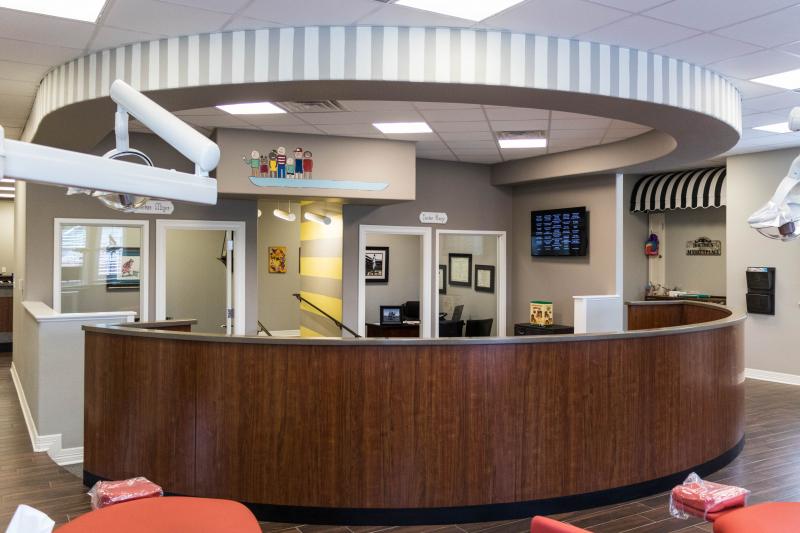
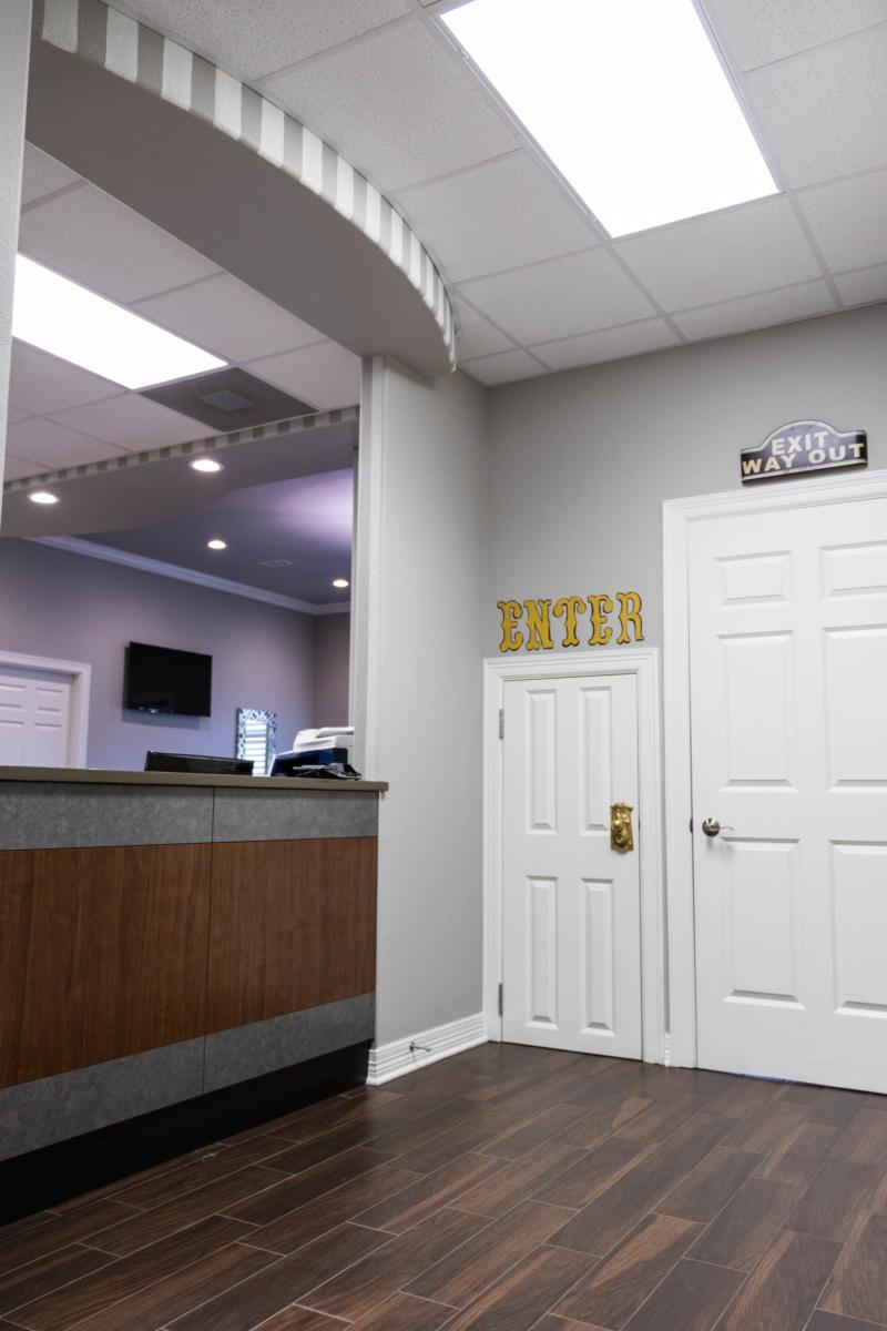
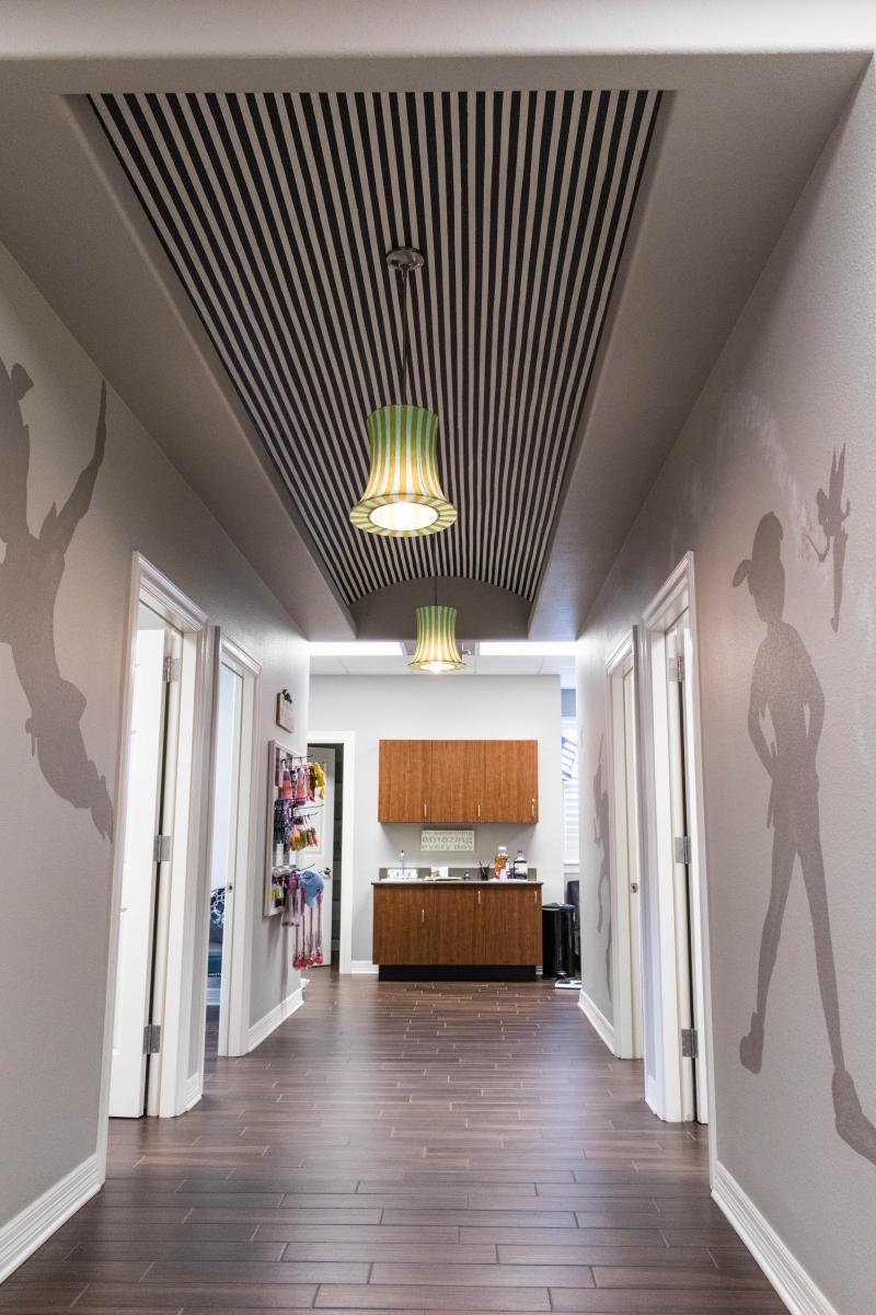
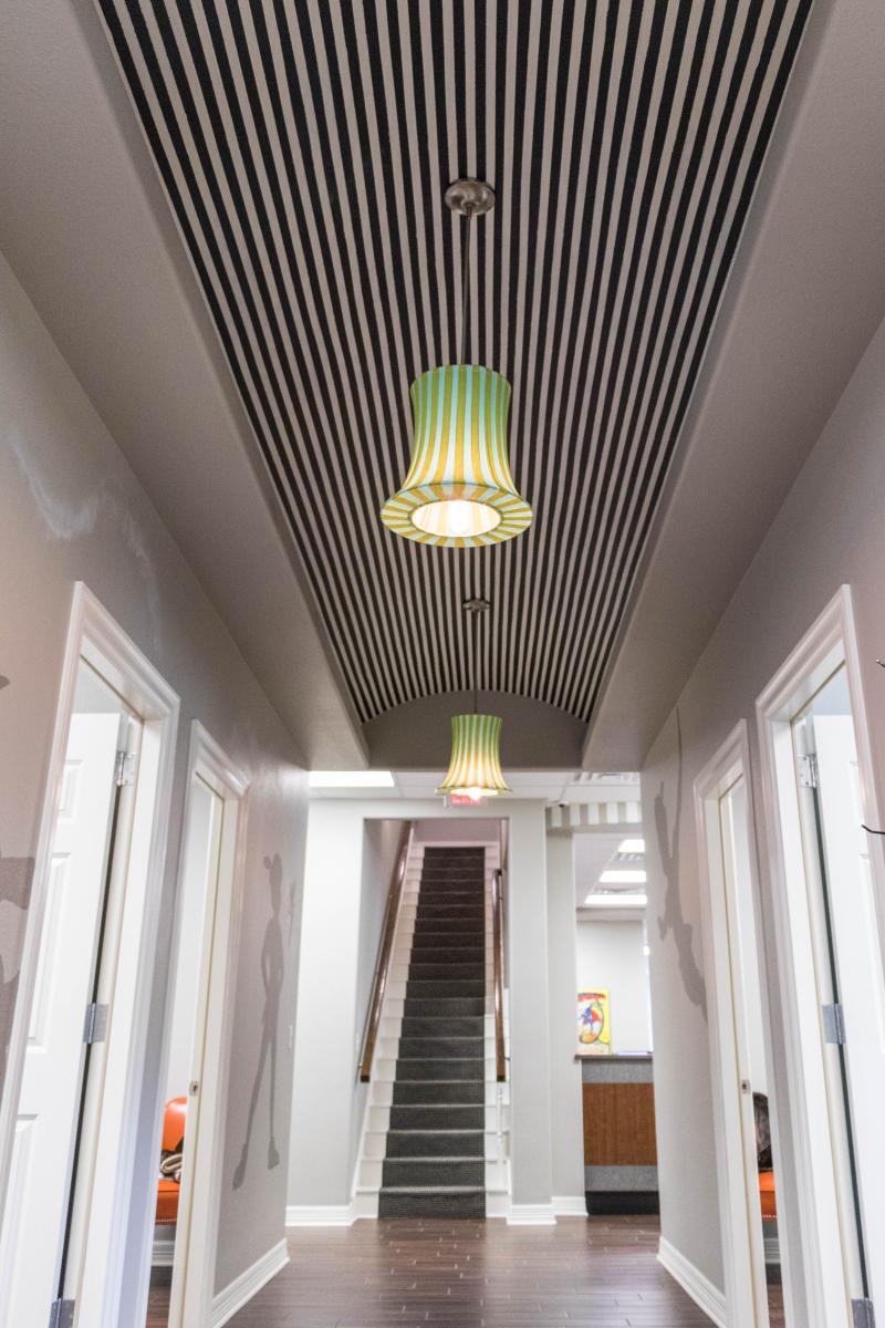
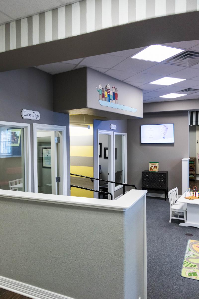
Horne & Miner Pediatric Dentistry
Architectural services for the design of a 6,000 S.F. wood-frame, residential style located on 2.249 Acres fronting H.G. Mosely with civil, structural, mechanical, electrical, and plumbing engineering design services. Facility included site access drives, parking facilities, site utilities, and drainage infrastructure.
Perry Reed
JPI worked with Perry Reed to design a low-cost building that looked like no other building in Longview. The unique design started with a pre-engineered metal building (PEMB) with architectural details of stonework and wooden beams. Because of the low cost of the PEMB, we were able to use higher end finishings inside to produce an innovative, beautiful office building with 10,350 sf. The new building stood next to his old office, which we then transformed to look very similar to the new building, giving a consistent look and feel to his office complex.
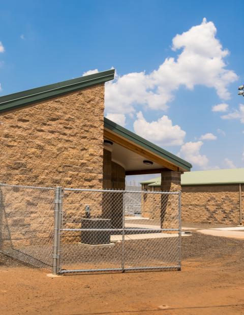
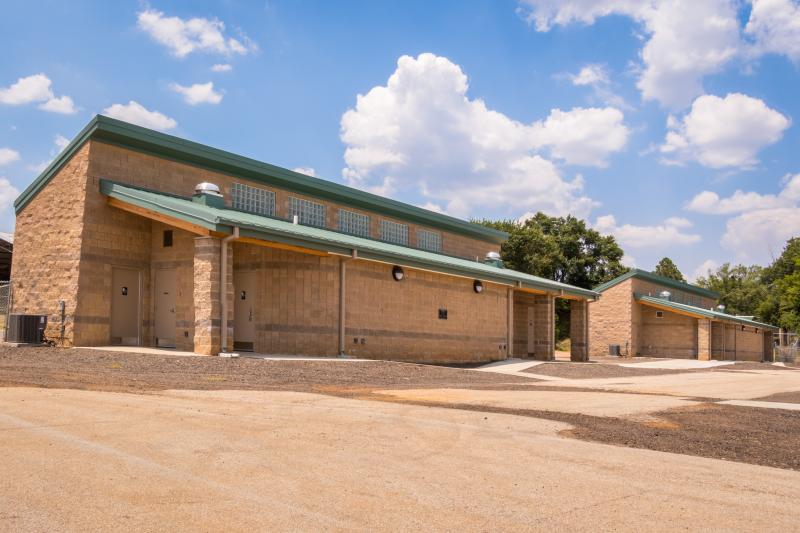
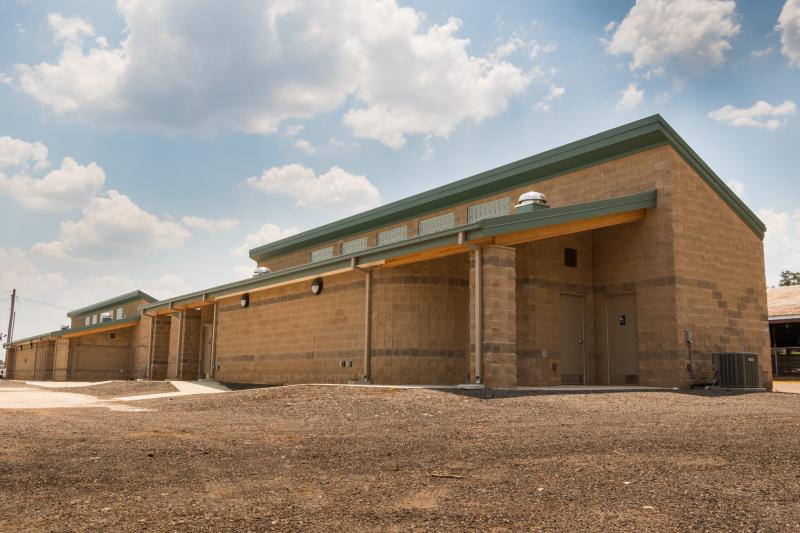
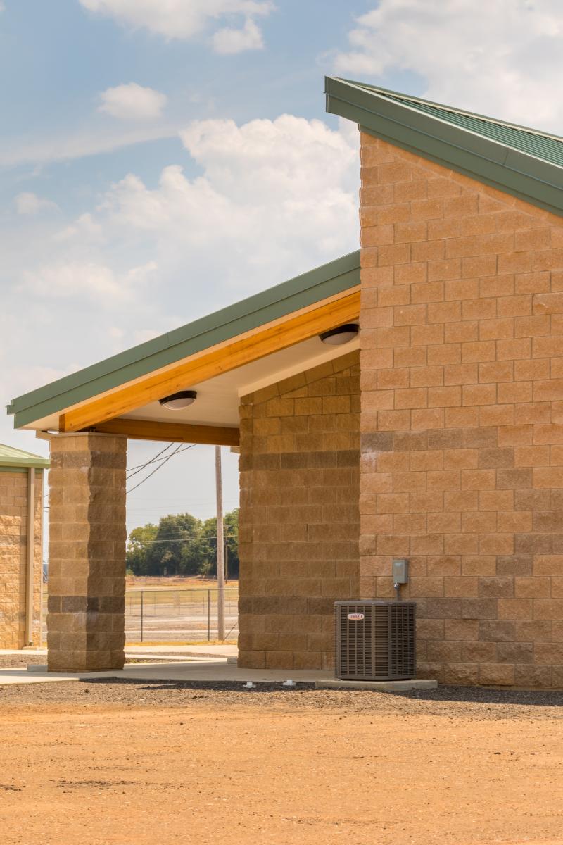
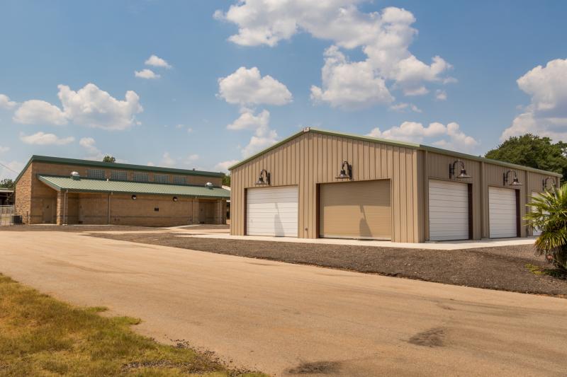
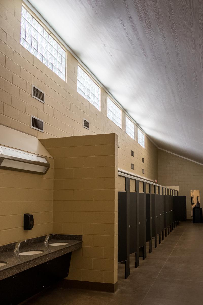
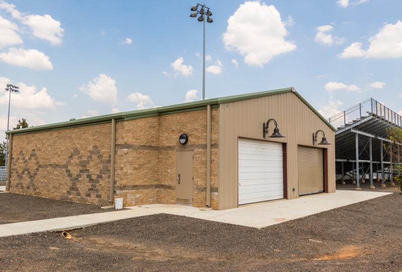
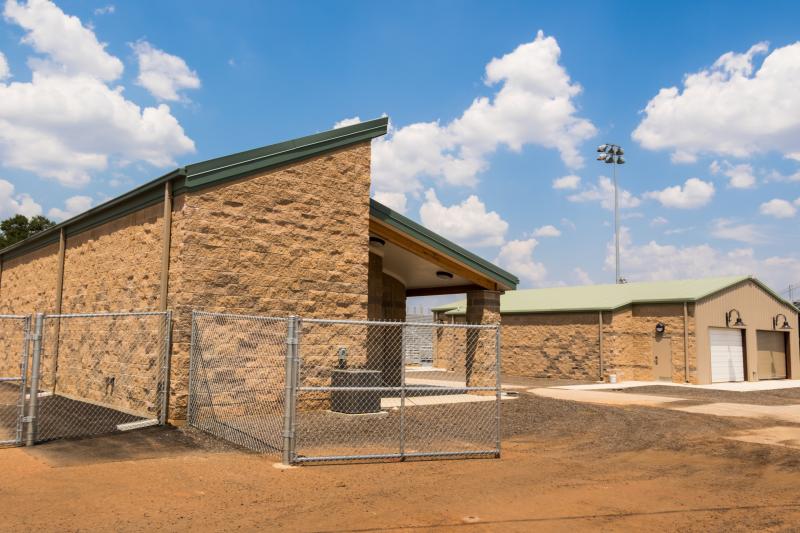
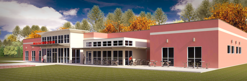
Gregg Co Fairgrounds Facilities
Design of two new restroom facilities for public use at fairground events center. Facilities included two men’s and women’s restrooms to accommodate the size of event crowds. A separate VIP building will house special events with open access to the remaining Fair Grounds.
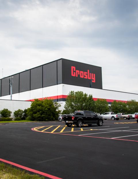
Crosby-Lebus
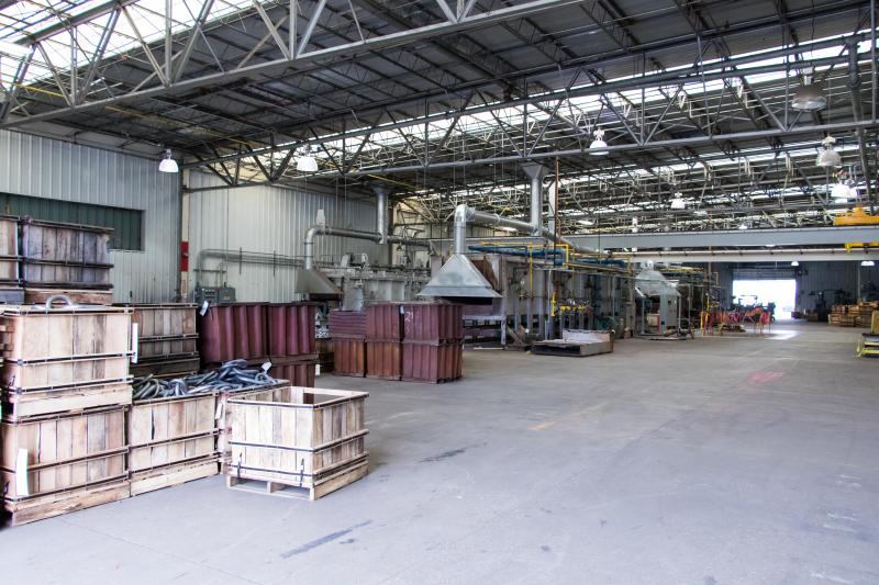
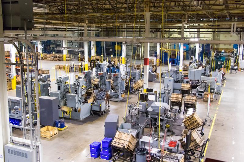
Crosby – Lebus is the global manufacturing leader in the rigging, heavy lifting, and securement industries and is considered the standard in the industry — both nationally and internationally. Johnson and Pace played a major role as a team member of the management team who over saw the $60 million consolidation and relocation effort of the Longview, Texas facility, into a new building and location while incorporating automated and robotic processes.
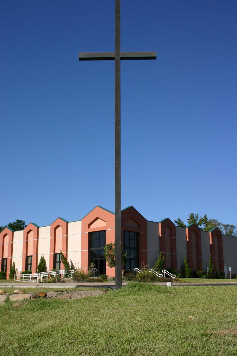
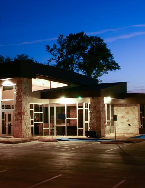
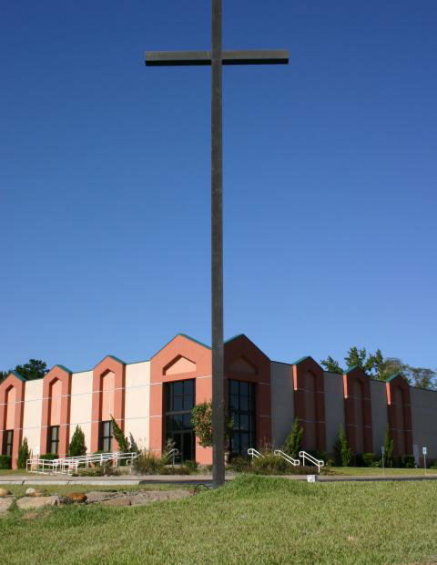
Crossroads Church
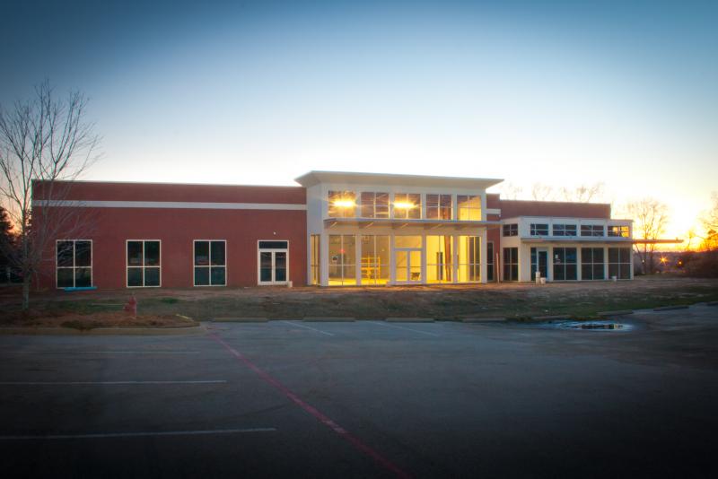
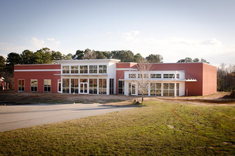
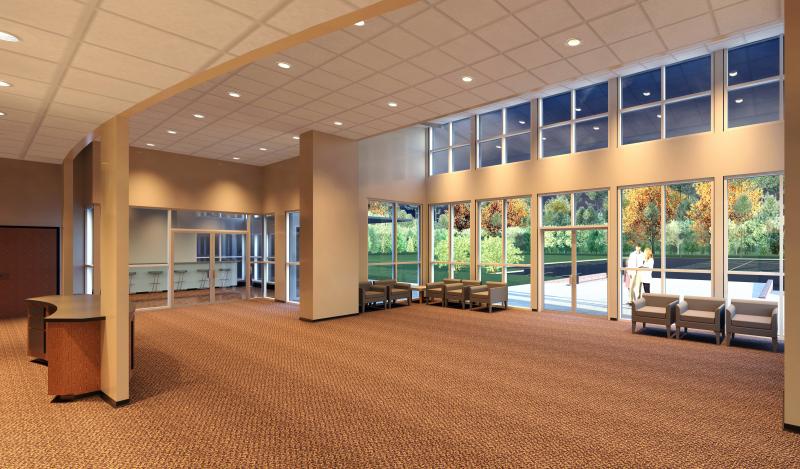
A 10,000 square foot new Children’s Ministries facility that involved our full services of Architecture, Engineering, and Surveying.
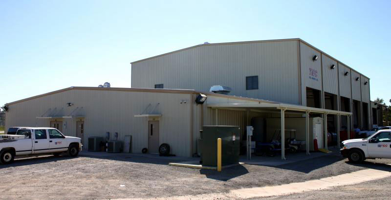
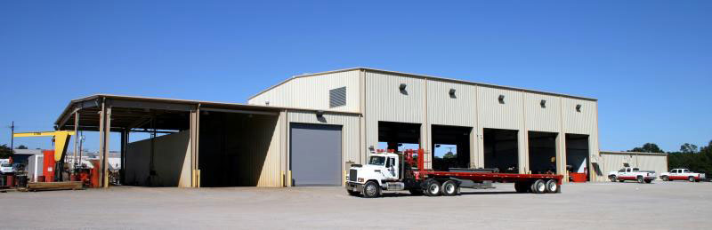
TEC Well
A 10.88-acre lot houses a 5,500 sf office building, 19,440 shop facility, and 2,400 sf locker room. The shop facility includes a work area, warehouse, wash bays, storage rooms, offices, restrooms, and training room. The site includes parking for 150 vehicles. Johnson & Pace provided comprehensive design services―site development, topographic and boundary surveys, construction staking, architectural design, structural engineering, MEP engineering, and an as-built survey.
JW Operating
JW Operating
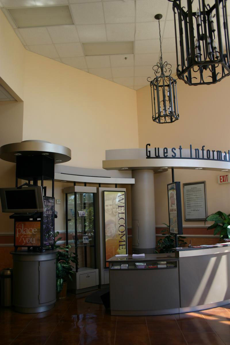
Grace Creek
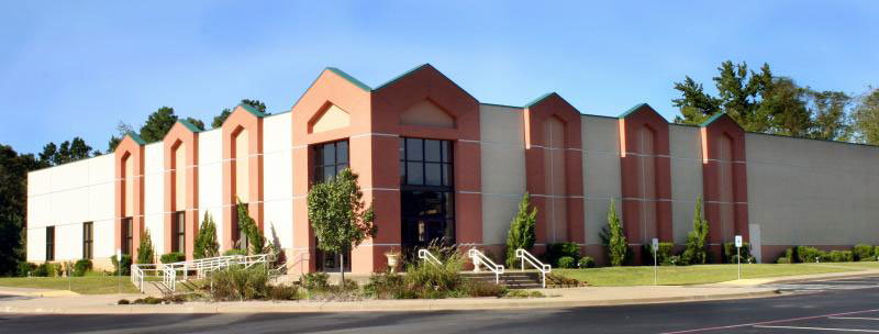
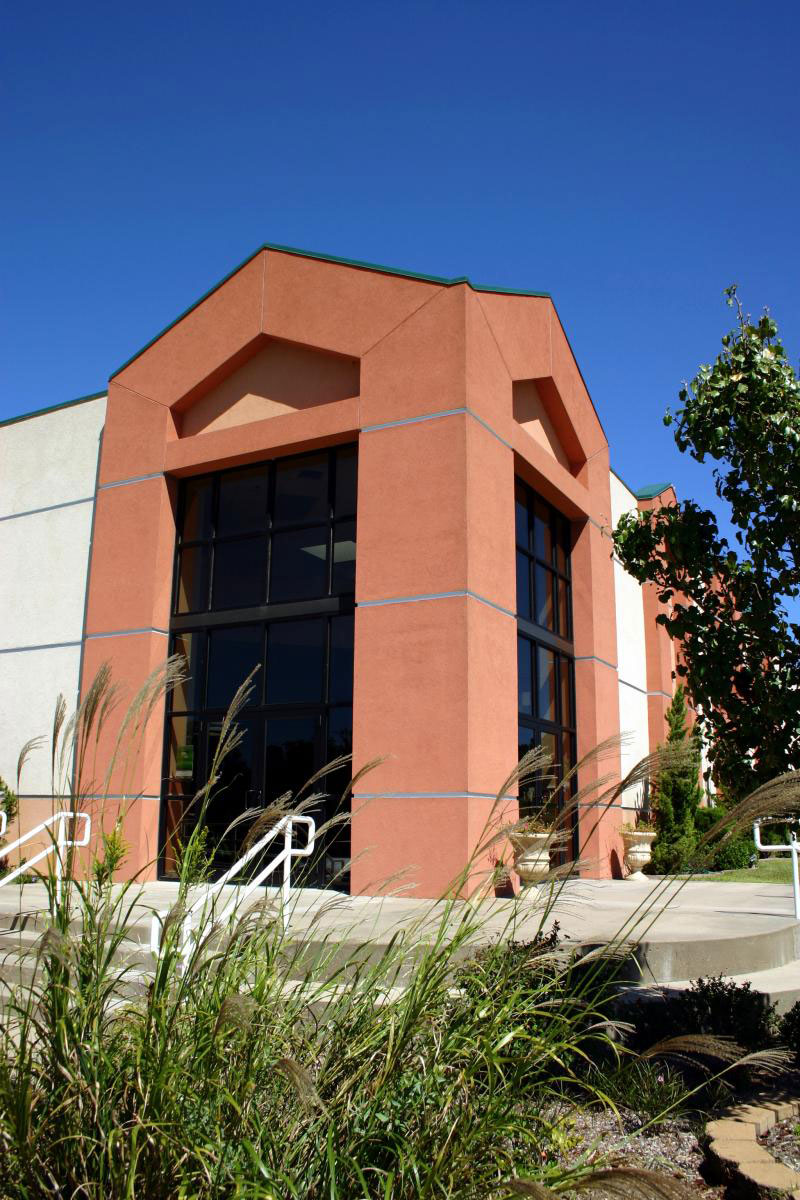
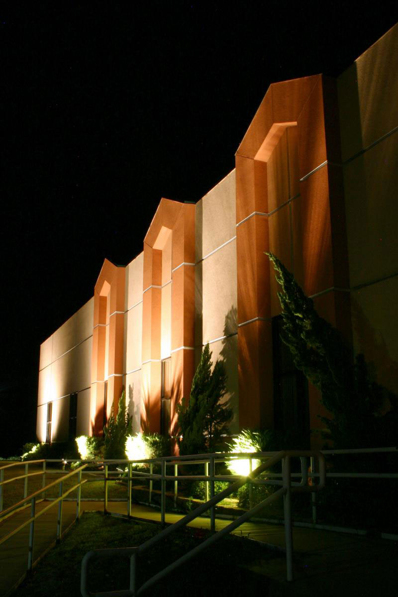
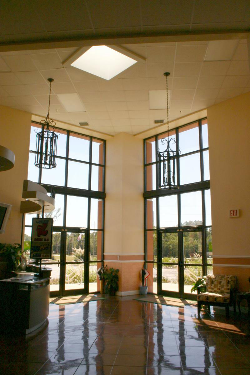
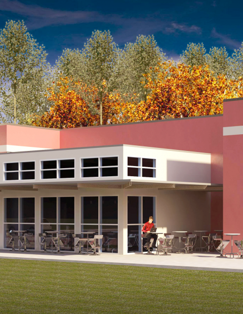
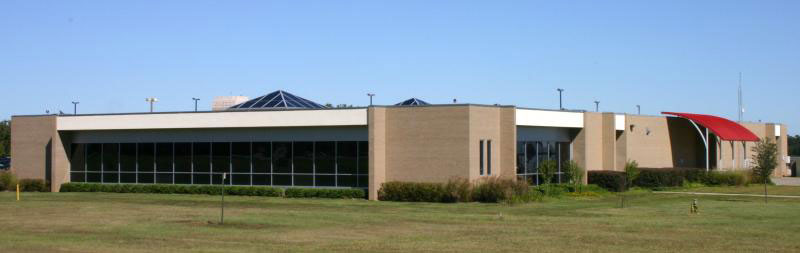
The church’s 17,000 square foot facility comprises a 440-seat worship center, nurseries, youth ministry suite, fellowship hall with kitchen, and administrative offices. Functions are organized around a sky-lit mall through the center of the building where church members meet, greet and enjoy a European style coffee and juice bar.
The Crossing at Main


Page Creek Subdivision


Liberty Mine
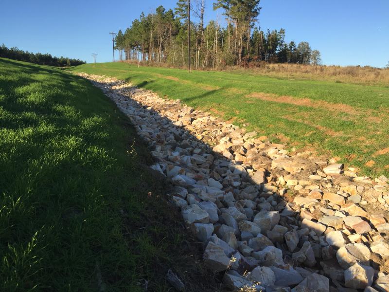
XTO River Erosion

Hollybrook Coves Subdivision

Kosse Mine
Fountainview Estates


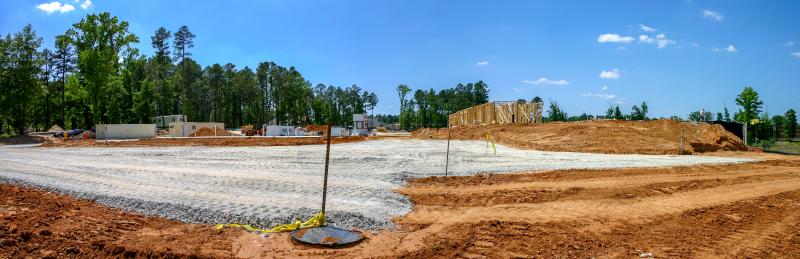
Vintage Trails Subdivision

BTH Bank


Buckner Children and Family Services
Sysco Foods


Horne & Miner Pediatric Dentistry


Perry Reed
Gregg Co Fairgrounds Facilities

Crosby-Lebus


Crossroads Church
TEC Well
JW Operating

Grace Creek